Welcome to
Young's Photo Gallery
James W. Young, Professional Photographer
Aerial Landscape
The first time I photographed the earth's landscape from a plane took place from
Oregon's north coast on July 29, 1958. I was 17 years old, and had met Robert
Sealy while on vacation in Seaside. 'Bob' was a radio announcer for an Astorian
AM radio station, KAST. More importantly, he was a pilot! After only a few
weeks of a soon to become life-long friendship, he offered to take me for a ride
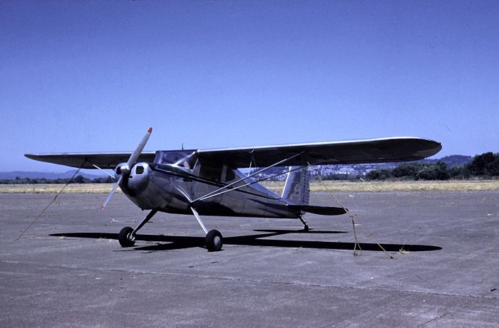
on a Cessna 150(?). With my trusted Exa SLR, I was over the Oregon landscape
for the following eight images!
Camp Rilea Military Reservation
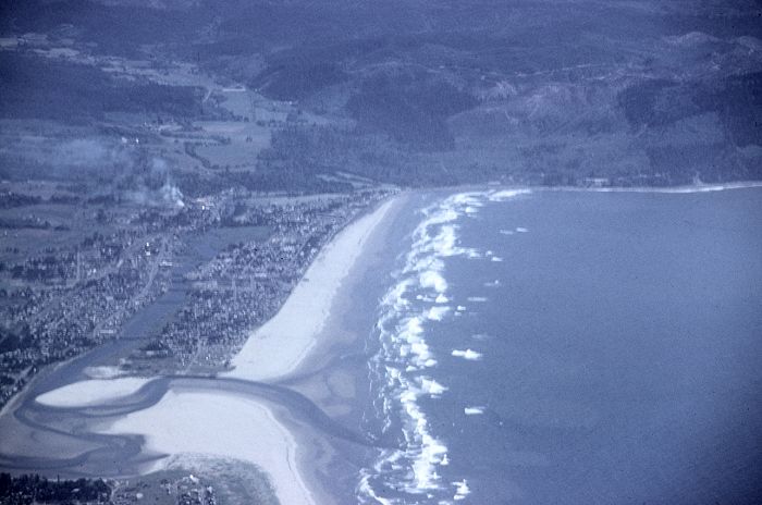
Seaside, Oregon, looking south from an altitude of 6000 feet
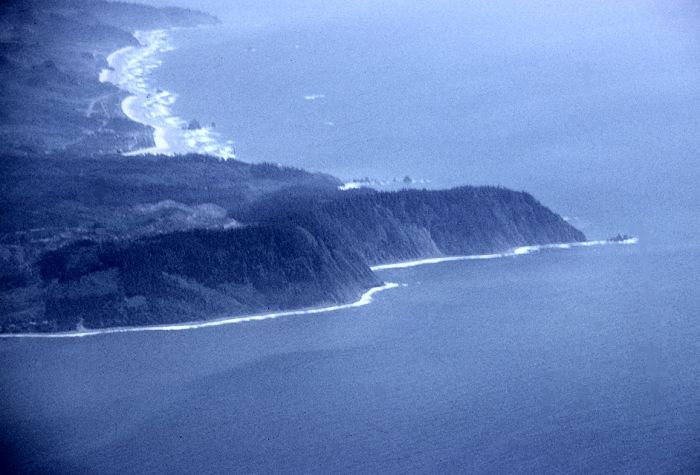
Tillamook Head with Cannon Beach beyond, some 16 miles south
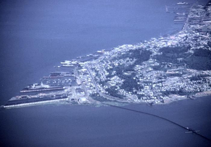
Astoria, Oregon
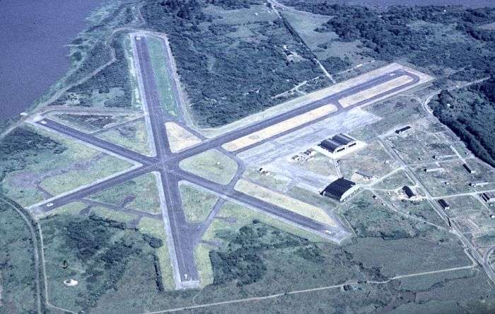
The Astoria airport where we soon landed
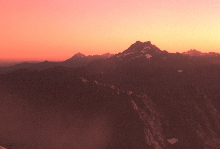
With my new interest in aerial photography, I snapped this image of 'The Brothers',
a 6866 foot mountain (with twin peaks) in the Olympic Mountain Range of Washington
state, from my seat on a DC-3 returning to Seattle from Seaside, Oregon.
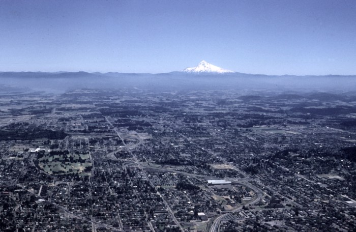
On June 24, 1961, I was flew to Oakland, California from Seattle, Washington
on a Boeing 707 to start serving in the US Army at Fort Ord, California. As I
flew over Portland, Oregon, I took this picture looking ewast toward Mt Hood.
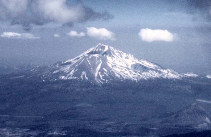
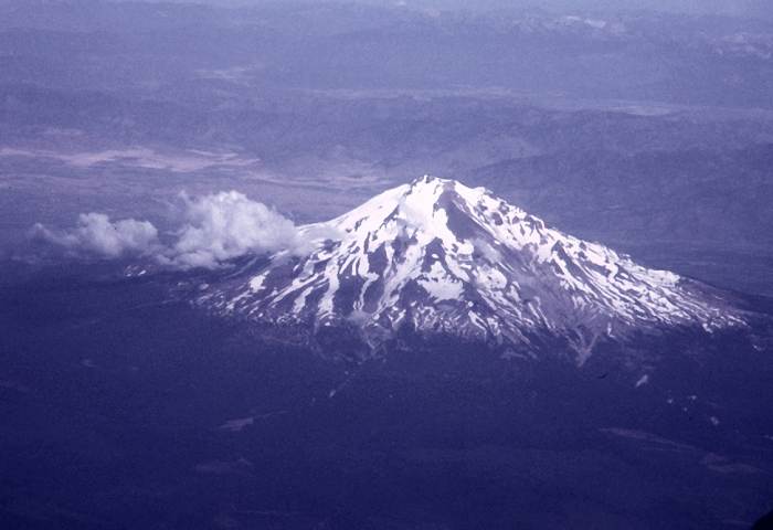
Soon after crossing into California, I got this image of Mt Shasta
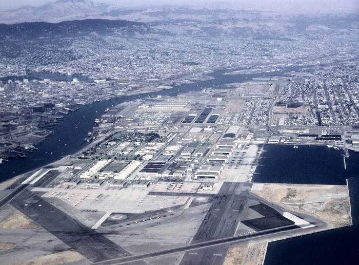
The Oakland Airport
On a flight from Los Angeles to Seattle, I once again imaged Mt Shasta on my
way north for a family wedding
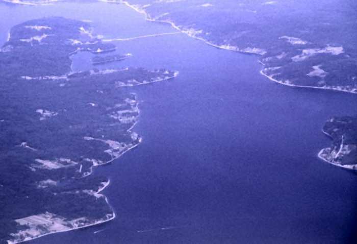
Coming into Seattle, passing over the Puget Sound and Fox Island (left)
In May of 1973, Chuck Ivie took me flying in his Aeronca 2-seat low-wing plane
for this and the following three images
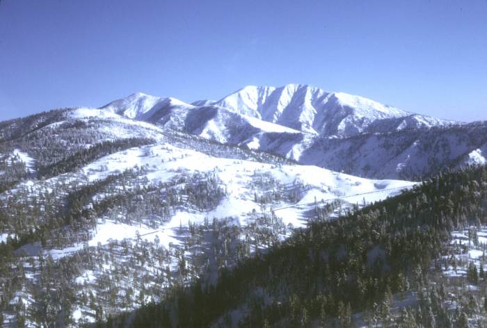
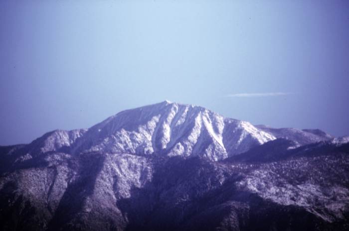
Mt San Antonio (California)
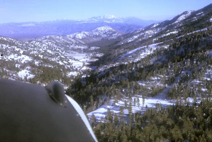
The Swarthout Valley looking east across the small community of Wrightwood
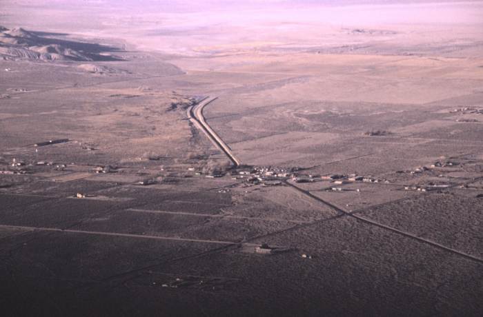
Somewhere out in the eastern Mojave Desert
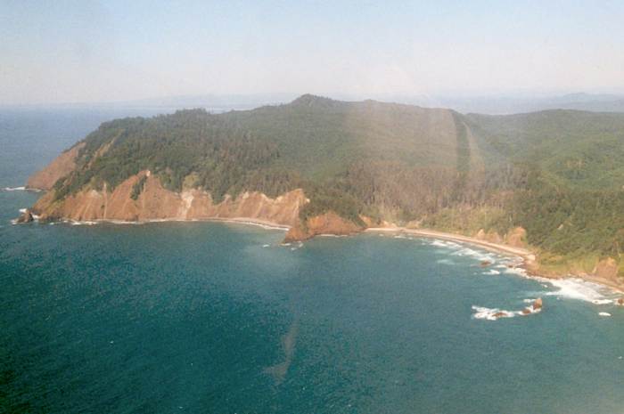
On August 3, 1993, my daughter Eileen and I chartered a Cessna 172 out of the
Seaside, Oregon airport. The image above is looking north at Tillamook Head,
while we were 2 miles northwest of Cannon Beach. The western tip of Tillamook
Head is to the far left, and Indian Beach is just to the right of center, all part
of Ecola State Park.
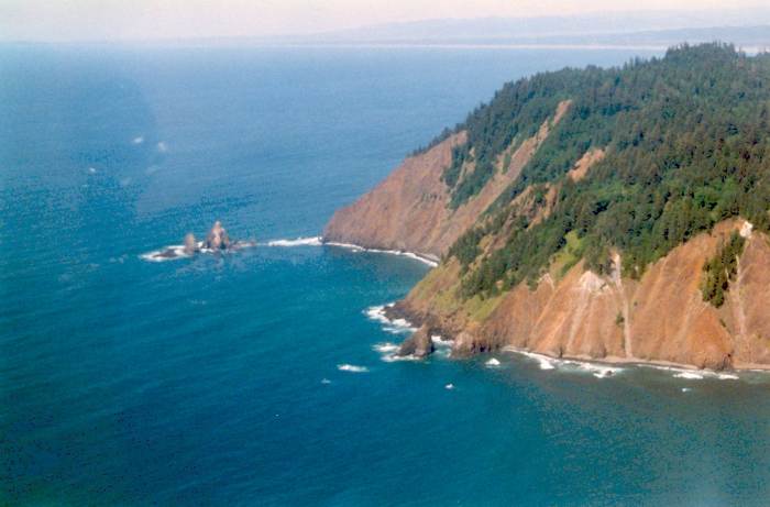
The western tip of Tillamook Head

The rocks off the western tip of Tillamook Head
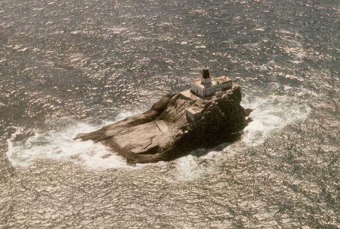
Tillamook Rock Lighthouse (abandoned), some 1 1/2 miles west of Tillamooh Head
Returning to California from the Ft Worth/Dallas, Texas airport, I climb up to
altitude over the Texas landscape on July 9, 2002
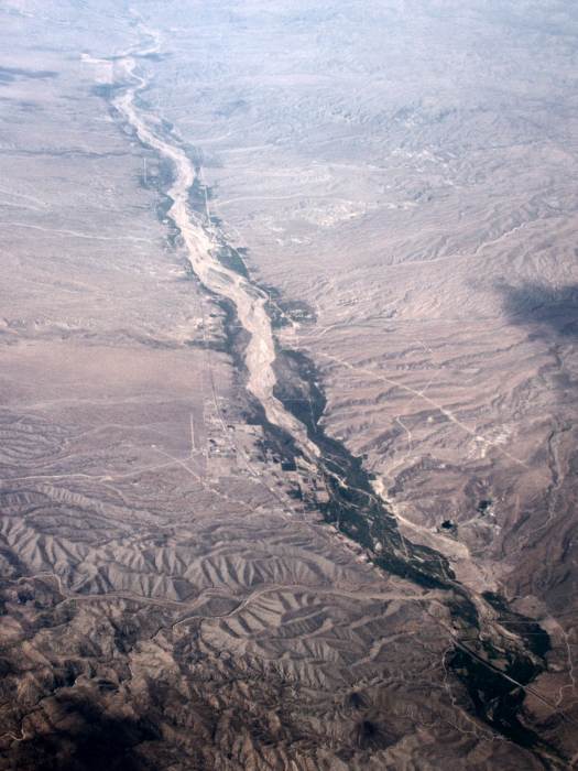
A river bed running north-south somewhere in central Arizona
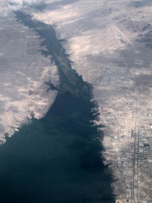
Lake Havasu, with the north end of Lake Havasu City, Arizona to the lower right.
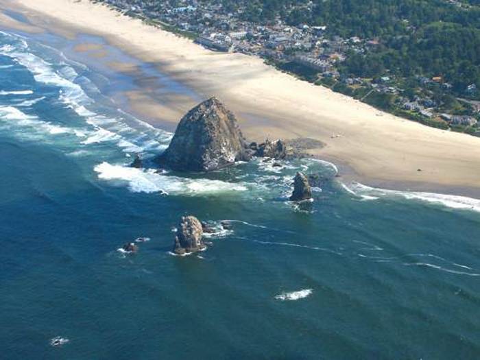
On August 18, 2003, two of my granddaughters and I take a helicopter flight out
of Seaside, Oregon. The above image is of Cannon Beach and 'Haystack' rock.
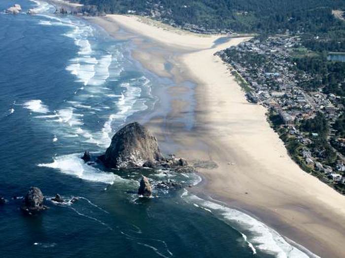
Looking north across Cannon Beach
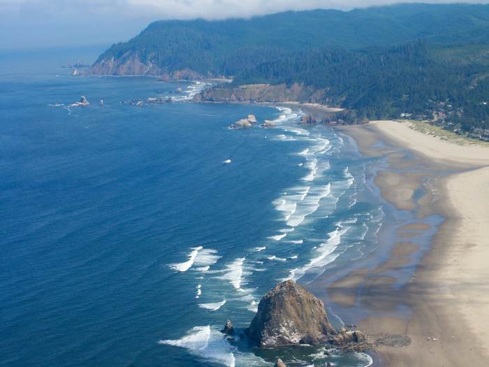
Looking further north from Cannon Beach to Tillamook Head (clouds over its summit)
Above Cannon Beach, looking northwest to Tillamook Rock Lighthouse (upper left
center), with Tillamook Head to the upper right
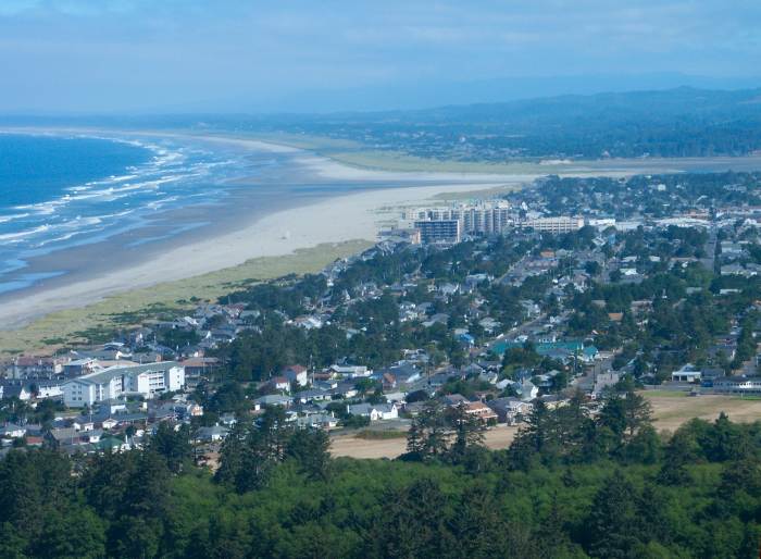
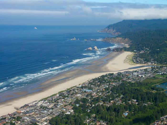
Looking north across Seaside, Oregon, with Gearhart seen north of the Necanicum
River.
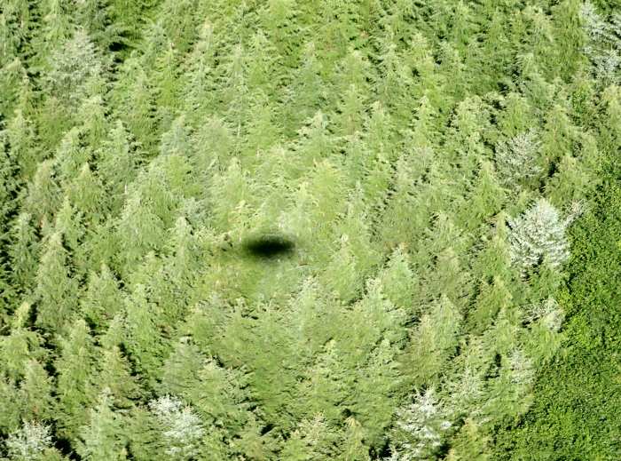
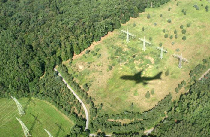
The shadow of our helicopter falling on the trees of Tillamook Head, showing the
distinct 'opposition' (brightening) effect around the shadow.
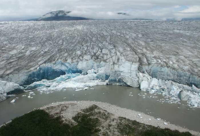
This picture, and the following four were taken from a helicopter trip to the
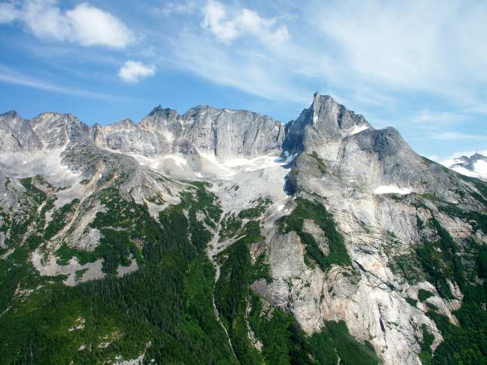
Denver glacier east of Skagway, Alaska on July 19, 2004.
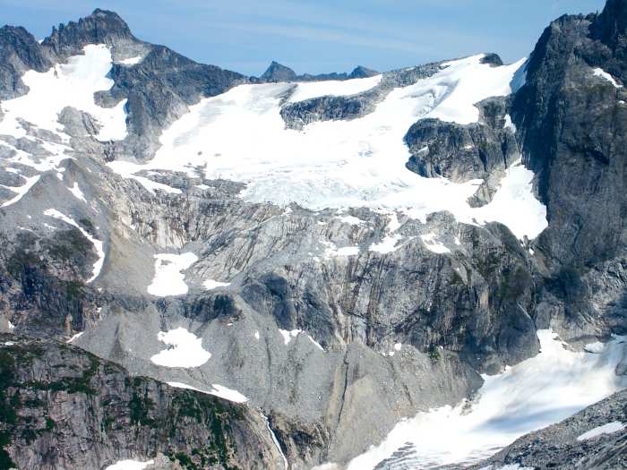
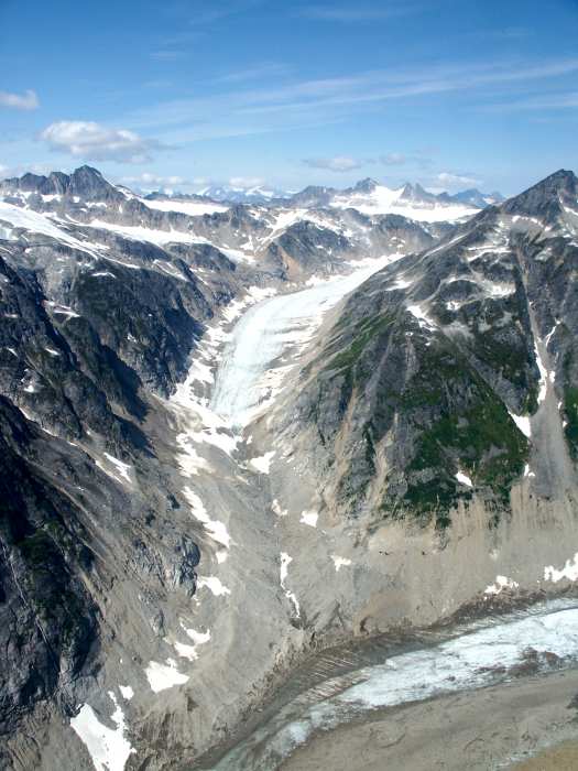
The Denver glacier. Look carefully in the upper right center for a helicopter on
the glacier with another tour group
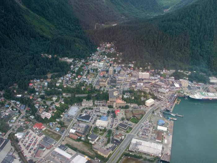
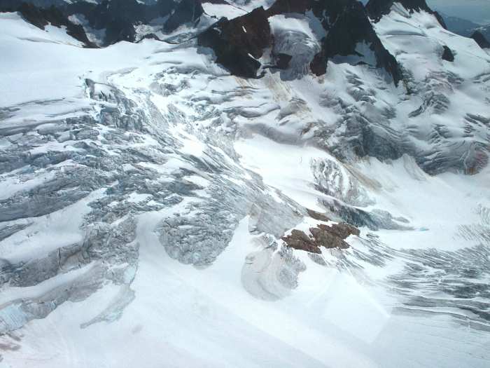
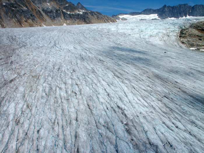
Juneau, Alaska on July 21, 2004, on a second helicopter trip to the Taku glacier
to the northest of the city.
The Taku Glacier
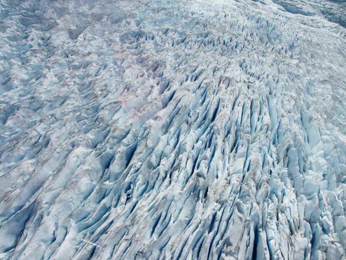
The intricate fissures of the upper Taku Glacier
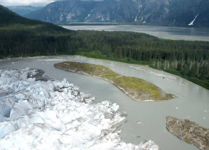
Going back to Juneau, we followed the Taku Inlet (upper part of image)
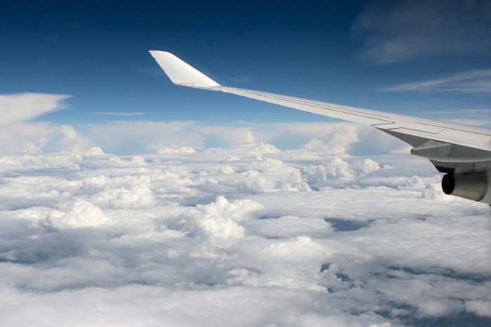
On August 11, 2006 I boarded a Lufthansa Boeing 747 in Los Angeles, and flew
to Frankfurt, Germany (the first leg to Prague, Czech Republic), for the 2006
IAU Conference meeting. I sat in the second to the last row of seats on the
left-side of the plane (window seat)
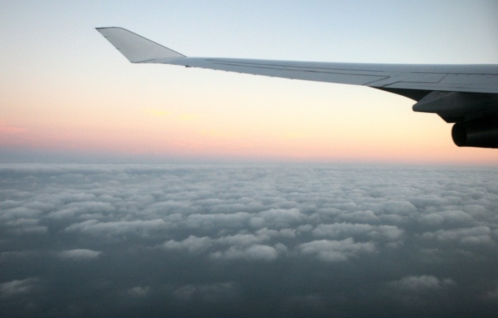
This image was taken just after take-off, flying over the Pacific to the west of
Santa Monica, California. We then flew north, and east all night by following the
great-circle route to Europe.
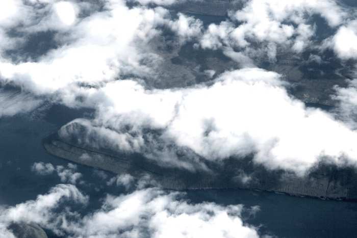
On August 12, 2006, well after sunrise, we flew over the Faeroe Islands near to
Iceland. Part of Bordo Island is in the lower center of this photograph.
The North Sea is mostly overcast, but made for a great picture
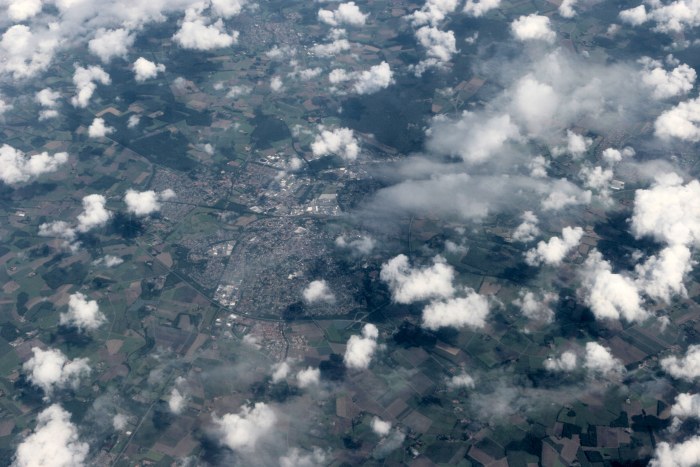
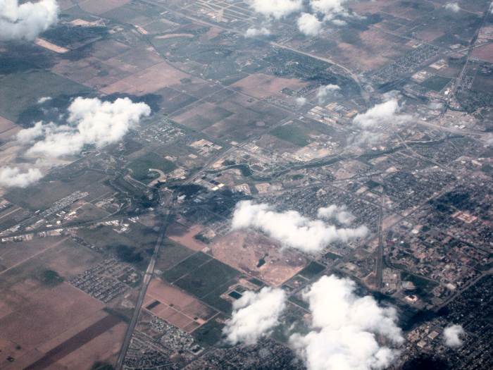
Somewhere over northern Germany after the cloud cover broke
Coming into the Frankfurt, Germany area
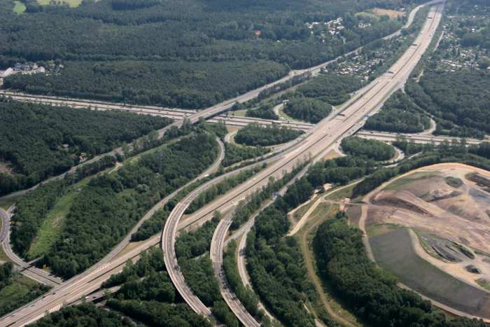
A main 'freeway' exchange northwest of the Frankfurt airport, 5 minutes before
we landed.
I returned to Los Angeles on August 19, 2006 while on-board a Lufthansa Boeing
747, sitting in the last (window) seat on the right-side of the plane. Nearly all
images are looking north, some northwest, and three almost due west. I had a
very clean window, with almost no scratches to hinder my photography. I used
my 24-70mm Canon lens, zooming in or out depending upon the desired scene
I left Frankfurt, Germany on my 12 hour flight back to Los Angeles. Here is the
shadow of the '747' just moments after take-off.
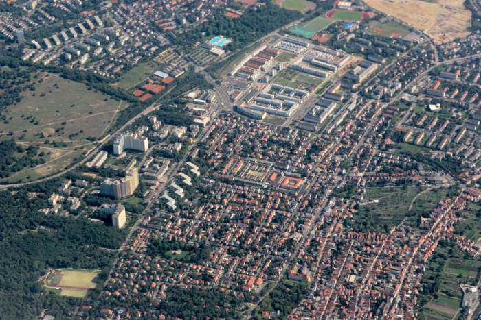
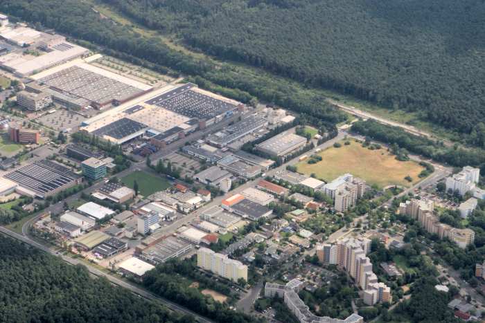
The populated area northwest of Frankfurt, Germany
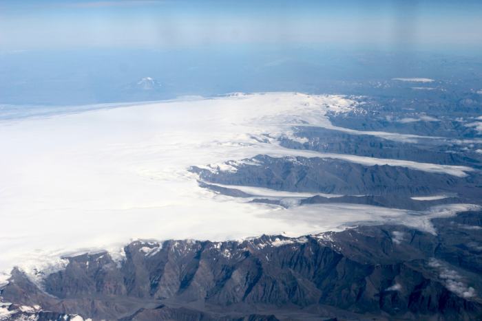
The Vatna Glacier in the southeast part of Iceland
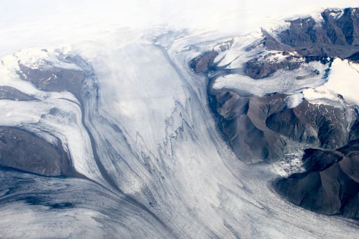
The Skeidarar glacier in the Skaftafell National Park in southern Iceland
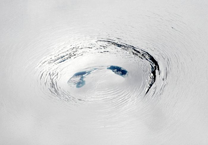
A crater-like depression in the Vatna Glacier
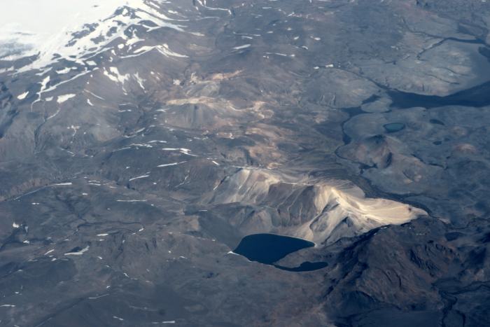
Barren looking Iceland
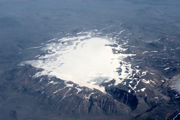
The Hofs Glacier in the center of Iceland
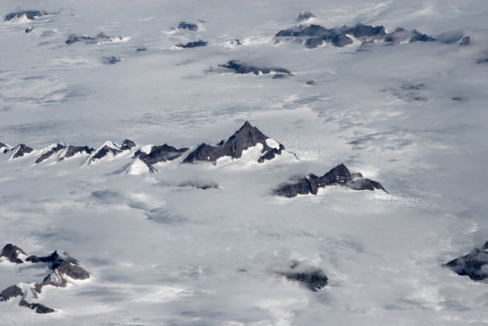
Mountains in the King Christian IX Land area of south eastern Greenland, south
of Cape Edward Holm
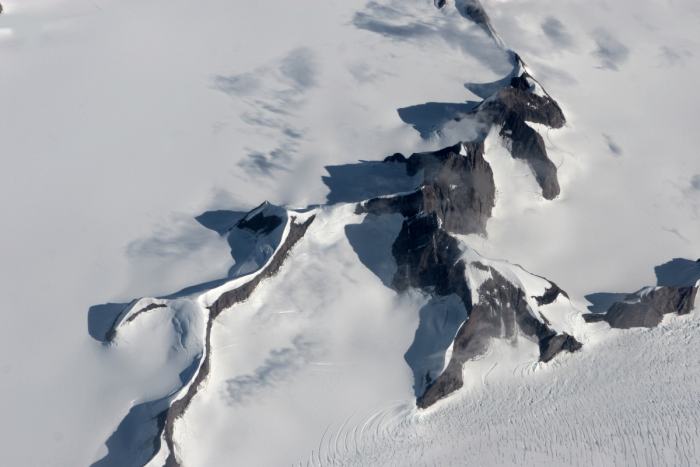
Close-up of a mountain range in southeastern Greenland
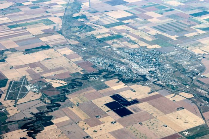
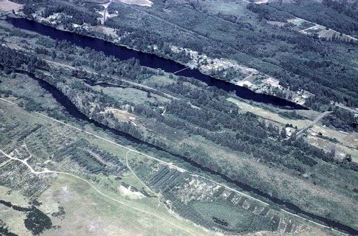
Moose Jaw, Saskatchewan, Canada
The western area of Fort Peck Lake (Missour River) in northeast Montana
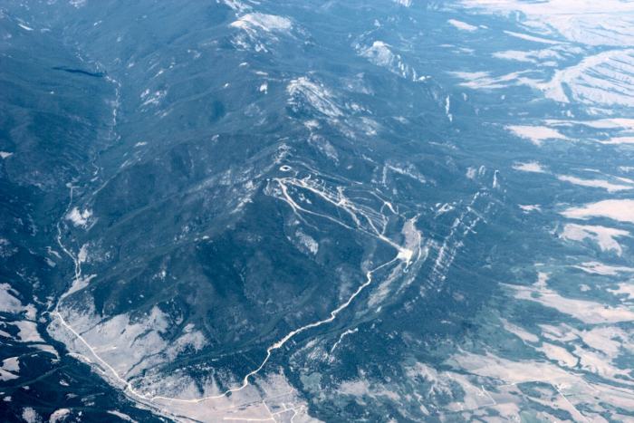
The Red River Mountain Ski Srea (center of image) west of Red Lodge, Montana
(about 20 miles north of the Wyoming border)
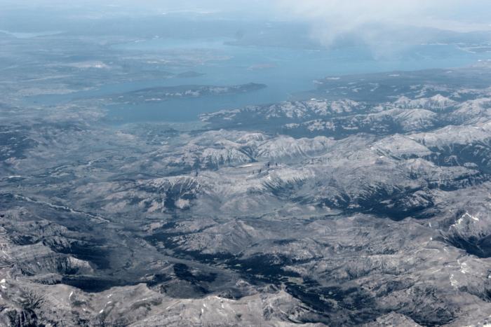
Looking northwest to Yellowstone Lake (over Wyoming)
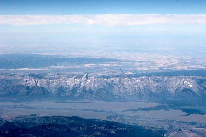
Looking west at the Teton Mountain Range (with Idaho in the background)
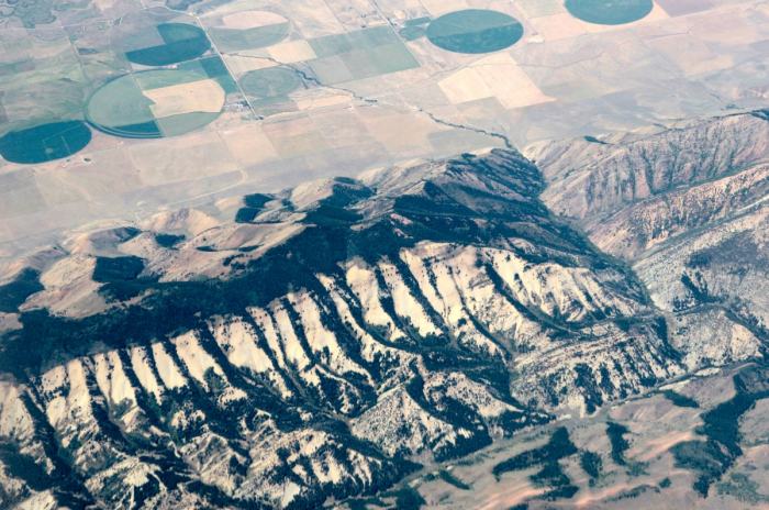
The border between Idaho (upper) and a Wyoming mountain range (center)
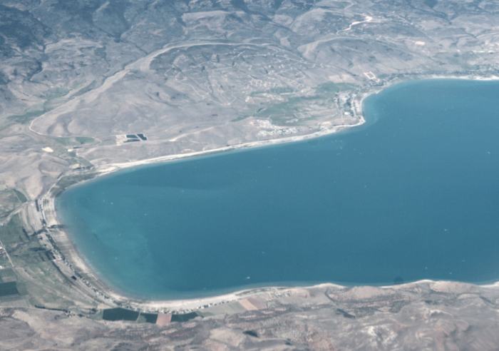
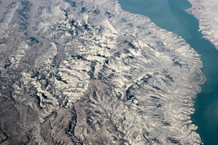
The south end of Bear Lake in Utah, with Idaho to the extreme right
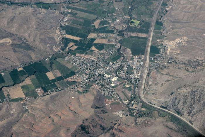
The small city of Morgan, Utah, with I-84 to the right (looking west)
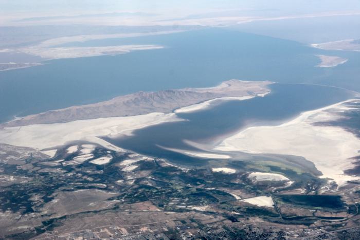
The Great Salt Lake, with Antelope Island in the center
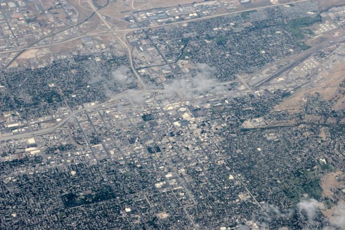
Salt Lake City, Utah
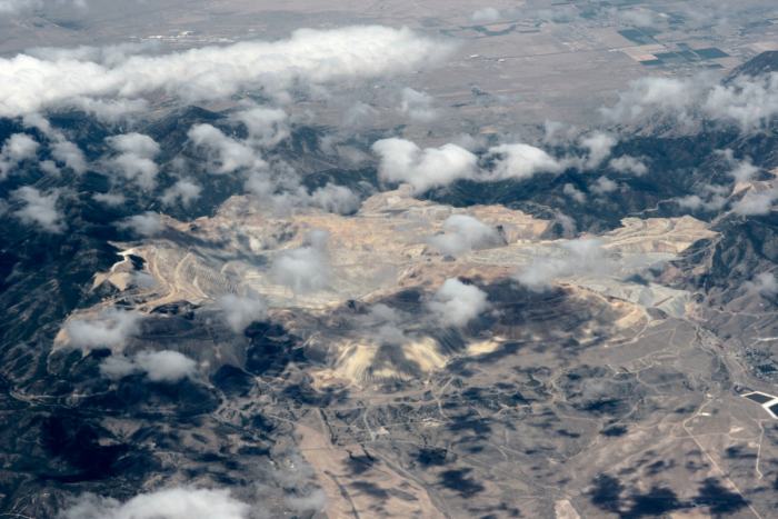
The Kennicot Open Pit Copper Mine southwest of Salt Lake City
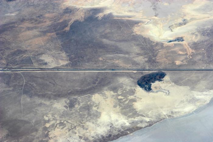
The I-15 freeway south of Nephi, Utah
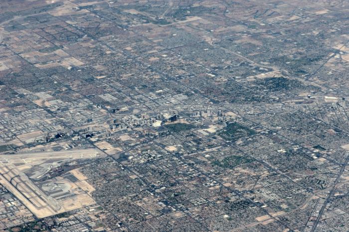
Las Vegas, Nevada
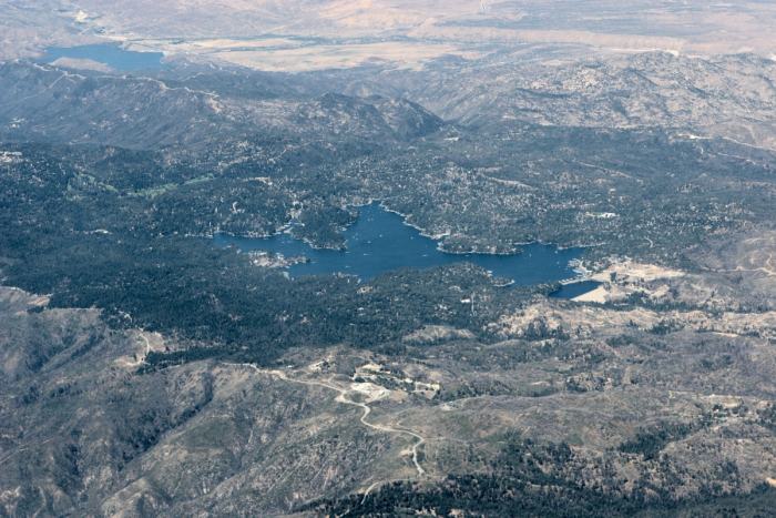
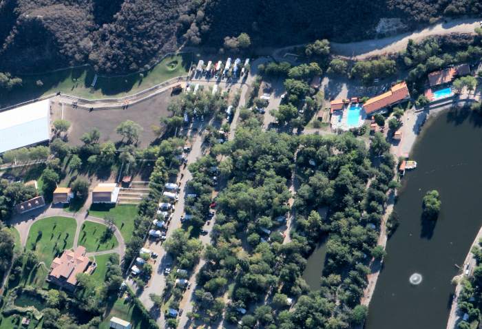
Lake Arrowhead in the San Bernardino Mountains of southern California
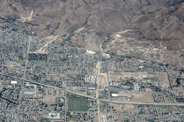
Highland, California with the I-210 freeway running west to east
Rose Hills, south of the I-60 freeway in Diamond Bar, California
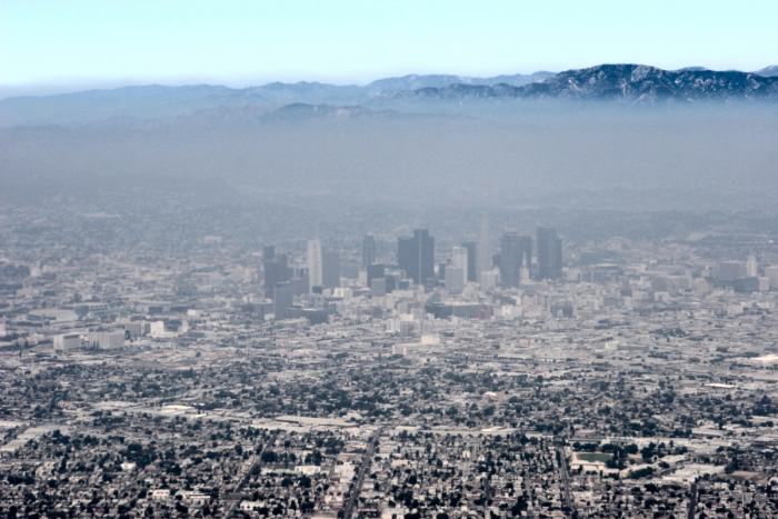
Downtown Los Angeles, with some smog, looking north 5 minutes before landing.
On September 8, 2007, a close friend, Jeffrey Howe, took me flying over the
small town (Wrightwood) we live in, as well as the Table Mountain Observatory
and other nearby areas. We flew out of Cable Airport in Upland in a Cessna 172.
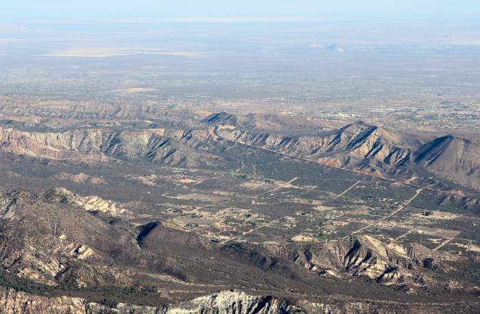
West Cajon Valley, with Highway 138 up the grade to Mountain Top. The Mojave
Desert in the background looking north.
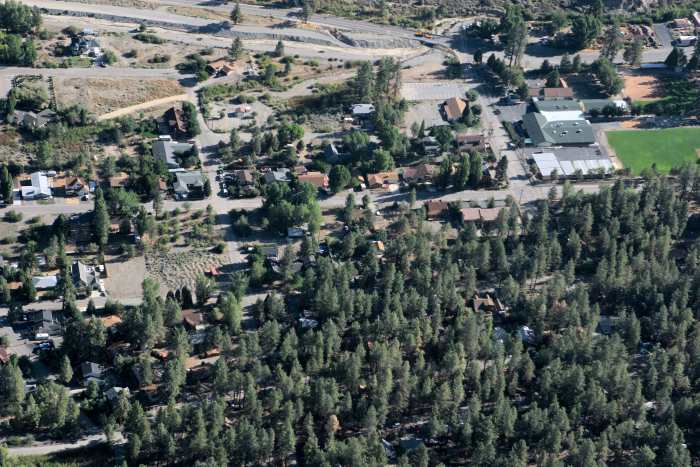
East Wrightwood, with Sheep Creek wash on the top
East Wrightwood
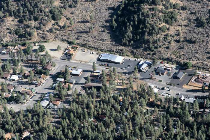
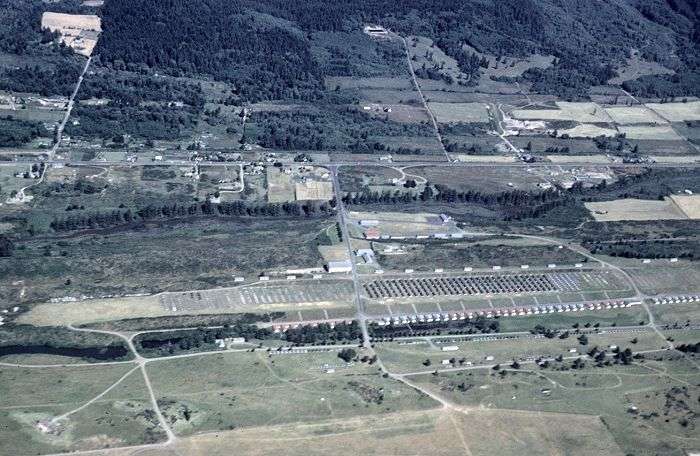
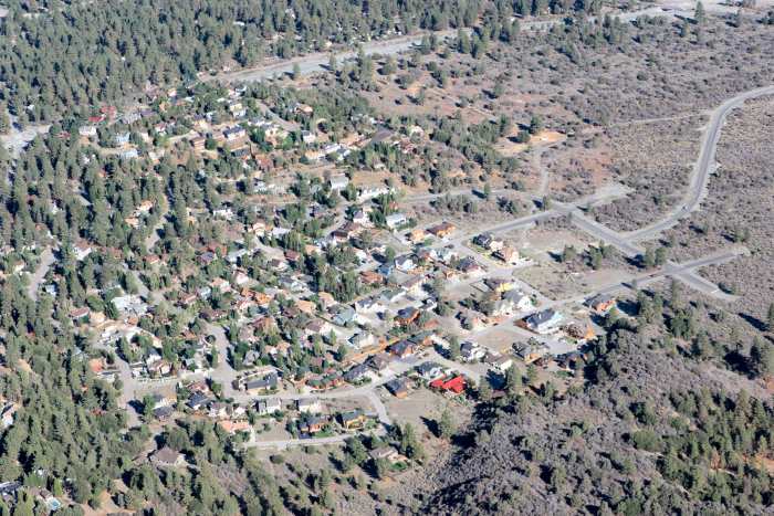
Wrightwood village, with Highway 2 running east to west
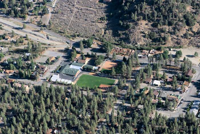
Wrightwood Elementary School, and Highway 2
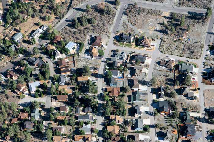
West Wrightwood, with the author's residence in the center (nestled in the green
poplar trees)
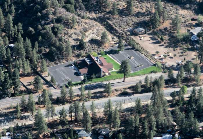
The Church of Jesus Christ of Latter-Day Saints, along Highway 2
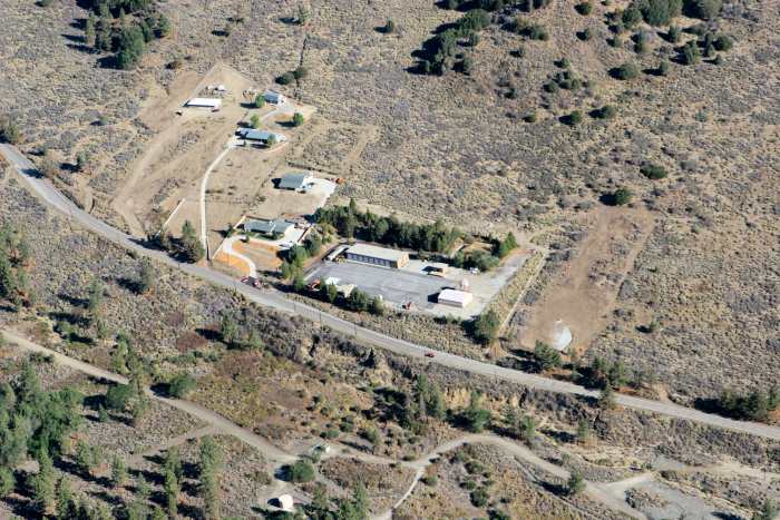
The (old) Cal-Trans Wrightwood Maintenance Station, along Highway 2
Mountain High East Ski Resort, along Highway 2
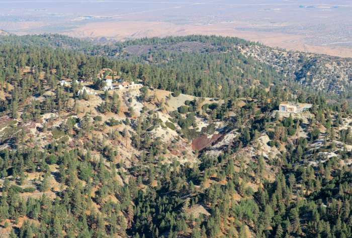
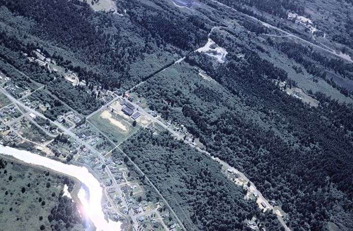
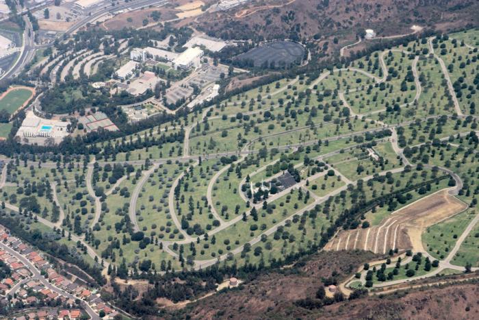
Table Mountain Observatory (main site on the left, and the solar site on the right)
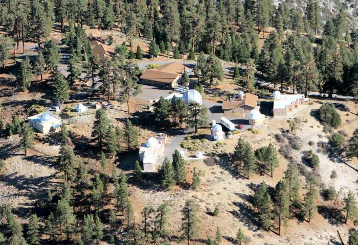
Table Mountain Observatory (looking due north)
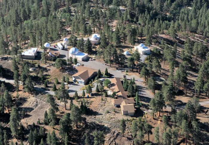
Table Mountain Observatory (looking south)
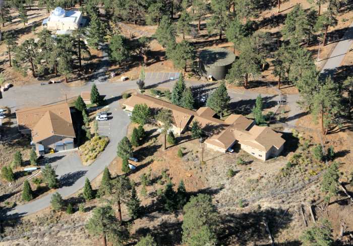
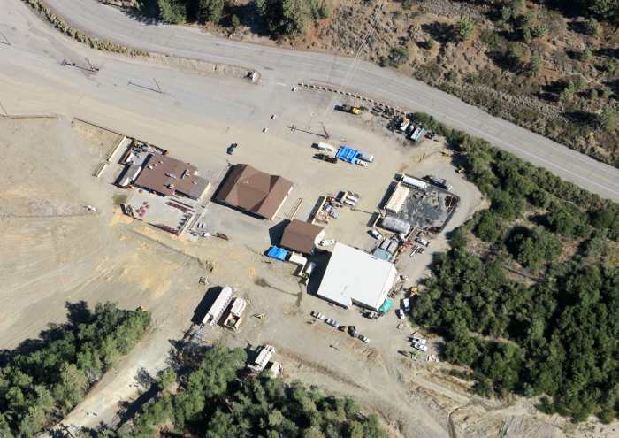
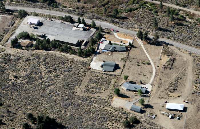
The business part of Table Mountain; the garage and shop on the left, and the
main headquarters' building in the center, housing the staff offices, library,
conference room, kitchen, lounge, and bedroom wings (right).
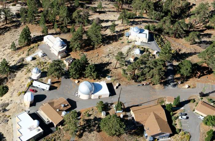
The science part of the observatory; Lidar bottom left, optical telescopes left
housing 40, 24, and 16 inch instruments, and the Optical Communications Lab
on the upper right (OCTL).
Mountain High East along Highway 2 (looking south)
Cal-Trans Maintenance Station and nearby homes along Highway 2 (looking south)
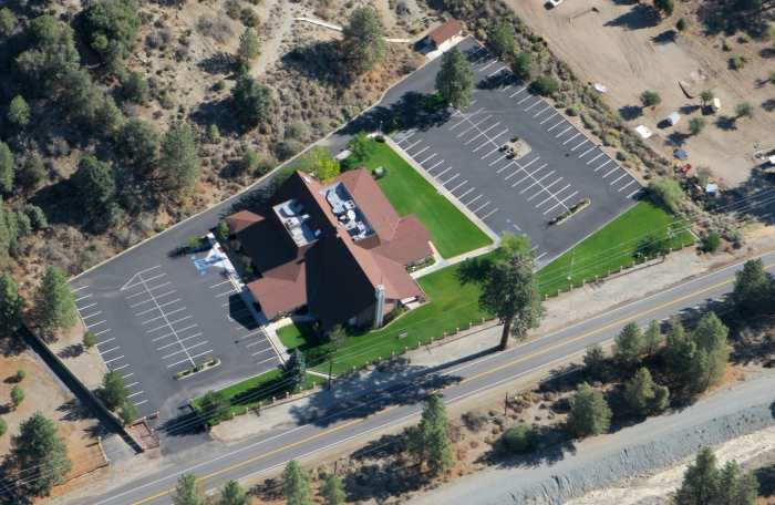
The Church of Jesus Christ of Latter-Day Saints along Highway 2
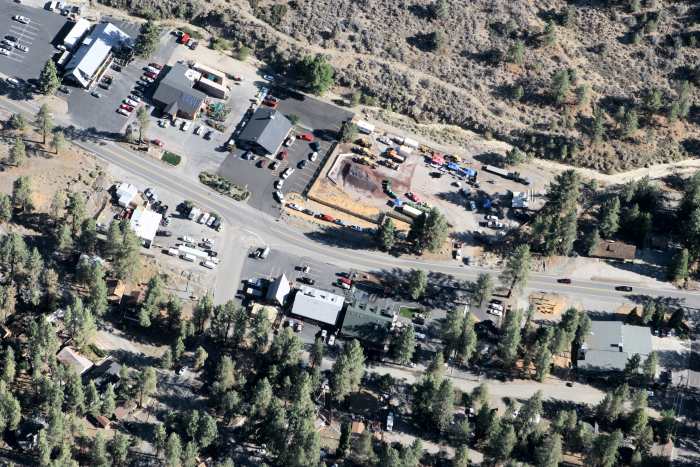
The east part of the village center, along Highway 2
The Church of Jesus Christ of Latter-Day Saints building in Phelan, California
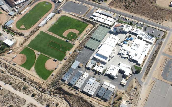
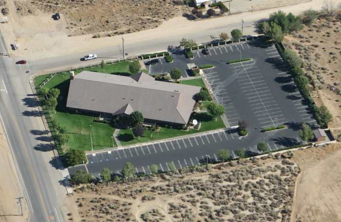
Serrano High School in Phelan, California
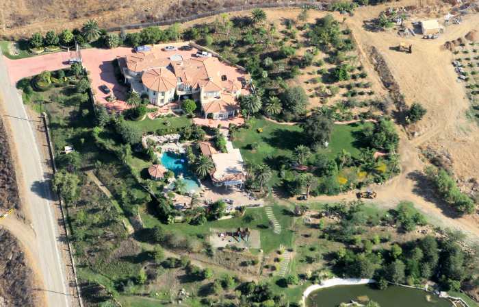
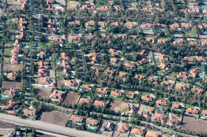
Someone's estate home in the foothills north of Rancho Cucamonga, California
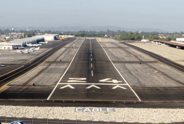
Landing at the Upland Airport