Welcome to
Young's Photo Gallery
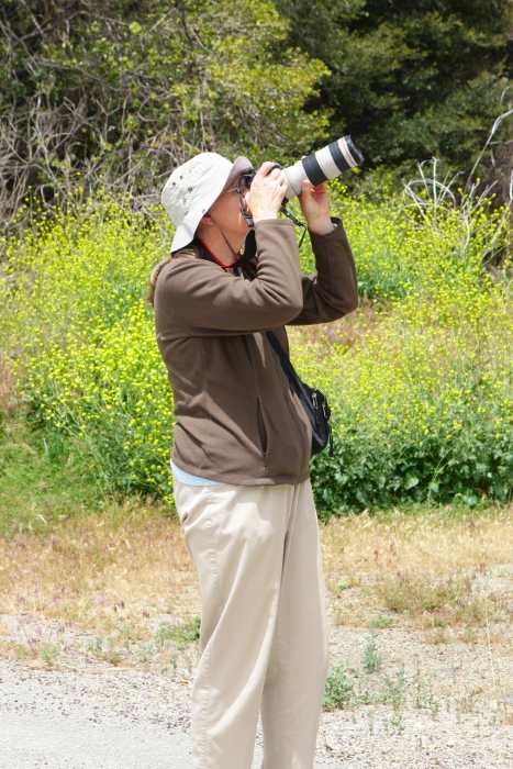
James W. Young, Professional Photographer
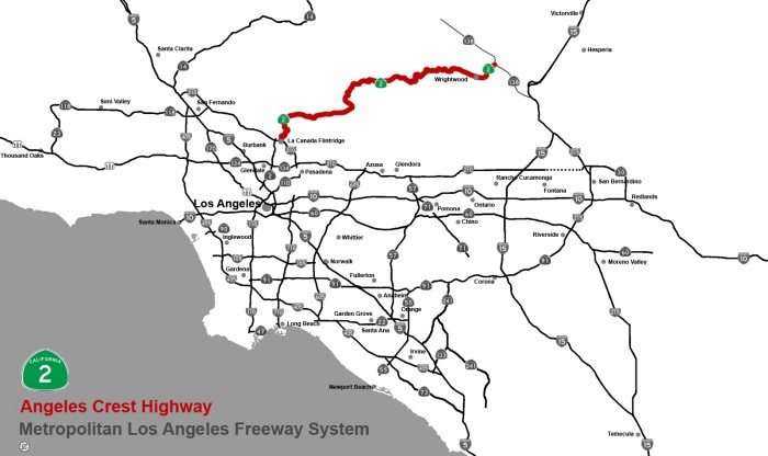
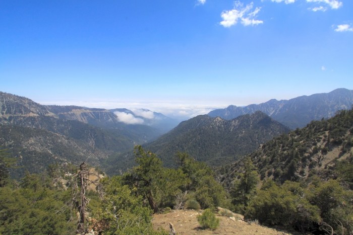
The Angeles Crest Highway/San Gabriel
Mountains
California State Highway 2 is
located in southern California, and runs from Santa Monica to State
Highway 138, 7 miles east of the town of Wrightwood. The eastern
portion of this highway runs
through the San Gabriel Mountains to the north and east of the Los
Angeles basin, and is best
known as the Angeles Crest Highway. Much of the highway is
well above the 5000 foot mark with
the highest elevation (7901 feet) occurring at
Dawson Saddle, and is 9 miles west of Wrightwood.
It runs 87 for miles.
The 'Crest' Highway construction
started in 1929, stopped during World War II, but was continued
in 1946 until it's completion and opening in late 1956. The
author has driven this road hundreds of
times since 1962, with only brief periods of closures usually occurring
during the winter months. By
the late 1990's, some closures lasted several winter months until
springtime cleanup by the county
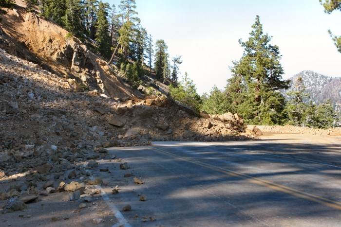
road department. The longest closure began after major
winter storms caused serious road damage
and landslides during the 2004-05 season. It was finally reopened
May 20, 2009.
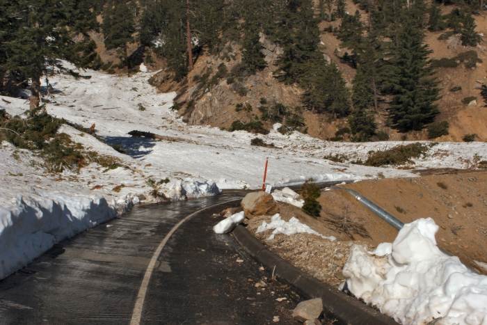
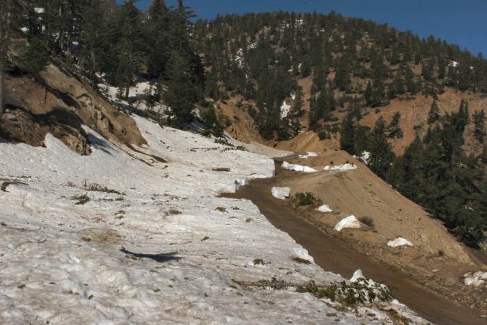
It should be noted that not all
closures were for the entire length of the road, but for those areas
affected mostly by snow, landslides, and/or fires.
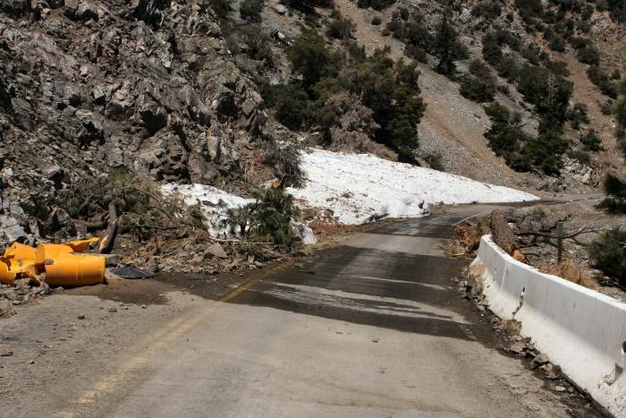
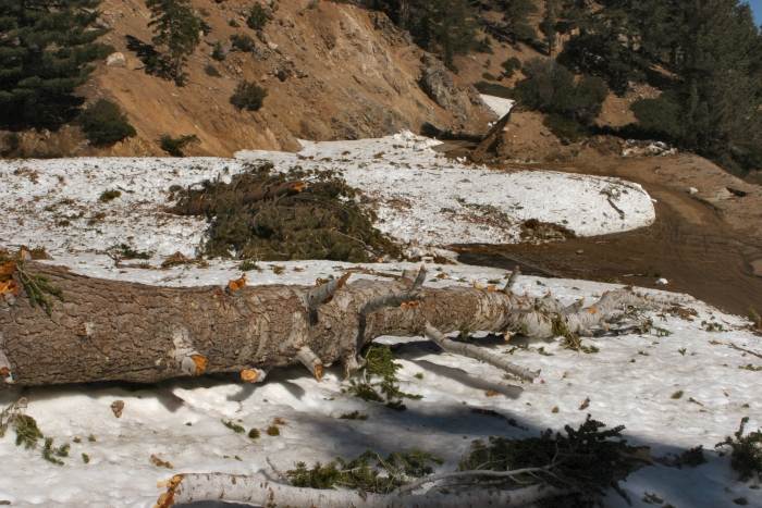
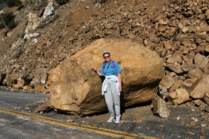
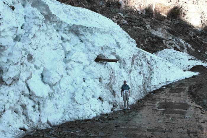
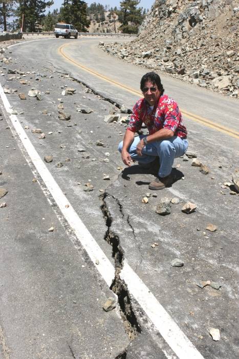
The following pictures were taken
June 4, 2005, showing the serious road conditions of the 'Crest'
highway between Vincent Gap and Dawson Saddle (6 to 10 miles west of
Wrightwood). My wife and
I received permission to walk up to the damaged area west of Vincent
Gap to record these images.
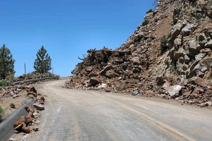
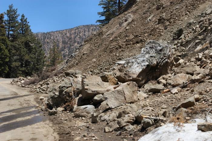
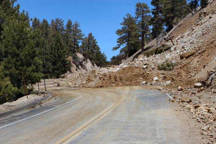
The following four images were taken
June 15, 2005
Armando Silva of Caltrans (California Department of Transportation)
2008-2009
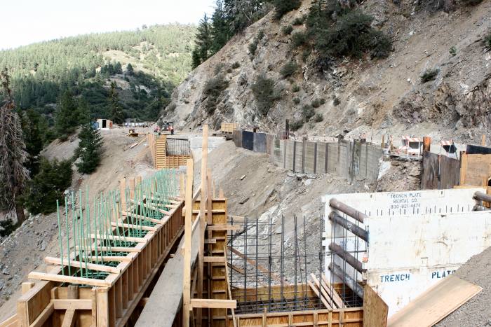
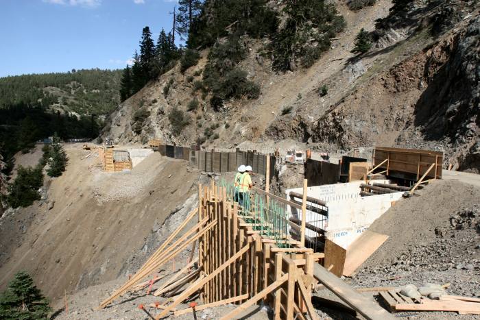
Caltrans determined that a major new
style bridge was necessary to stabilize the road some 7 miles
west of Wrightwood. This would be with specially designed
concrete beams, in order to span over a
very unstable slide area by attaching them to the bedrock on either
side of the slide.
September 4, 2008
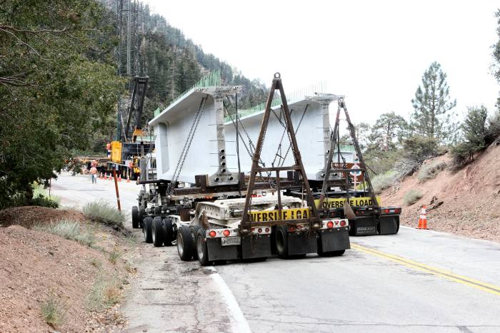
Concrete Beams
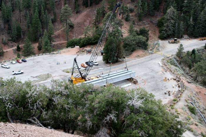
Stagging area at Vincent Gap for the concrete beams
The area to be 'spanned' by the new bridge
Another view of the 'spanned' area.
The concrete beams were hoisted into
place by a specially placed and stabilized cranes along the side
of the slide area. There were some difficulties with the
stability of the cranes, and the project took
considerable time to maintain stability and safety for the workers and
equipment. The finished bridge
is only one of 4 constructed in the world, according to Caltrans (as of
2009).
May 15, 2009
The newly completed bridge
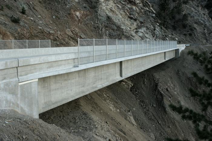
As seen from the east side
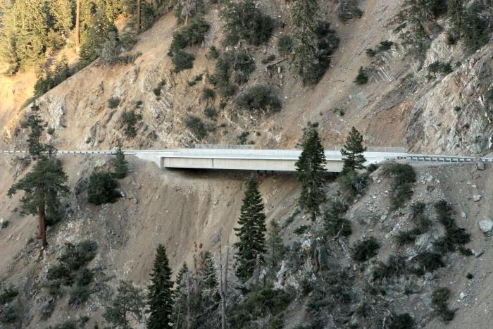
As seen from the west side
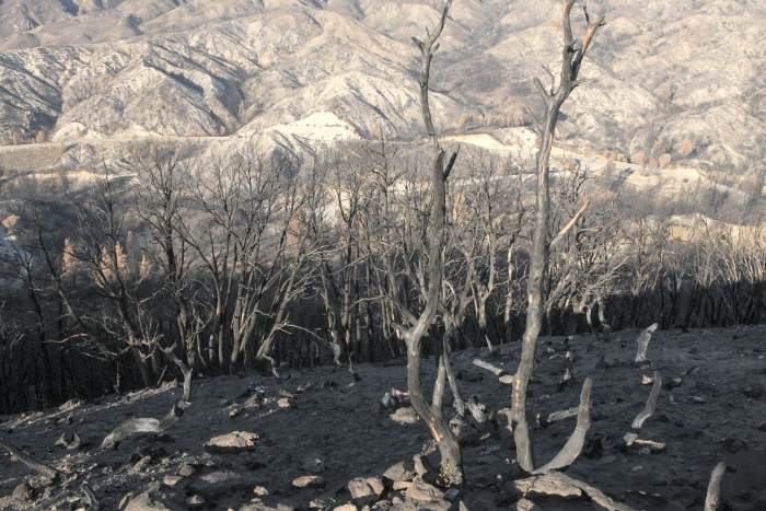
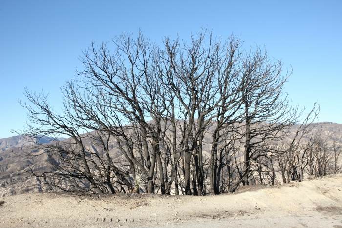
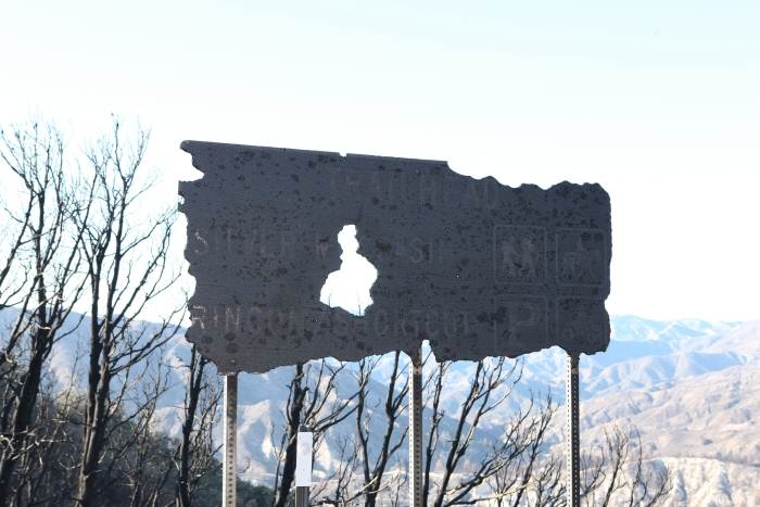
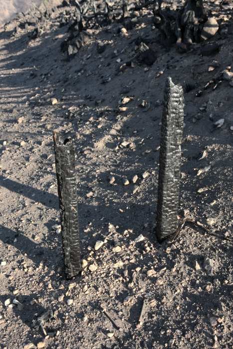
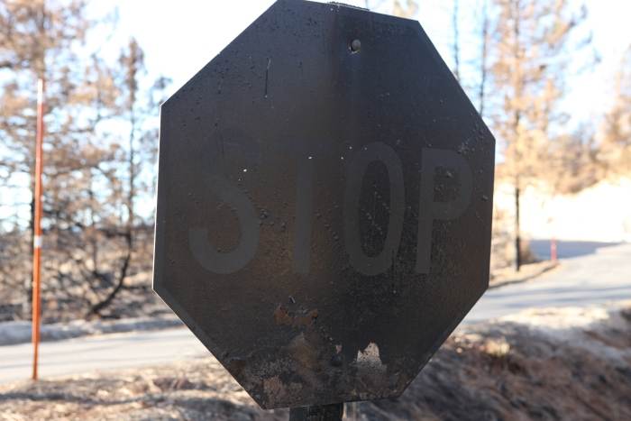
Then came the "Station Fire"!
On August 26, 2009 a fire started along the highway a few miles up
from LaCanada/Flintridge. This fire was the largest fire in Los
Angeles County history burning over
160,000 acres, and killing two firefighters. On August 29, the
fire consumed over 57,000 acres in
one day! Once again the Angeles Crest Highway was closed,
but reopened on November 30 until rock
slides forced another closure during the early months of 2010. It
recently reopened June 3, 2011.
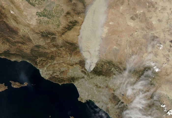
Image of the 'Station Fire' taken by the Moderate-Resolution Imaging Spectroradiometer (MODIS)
aboard the AURA satellite, a NASA scientific research satellite.
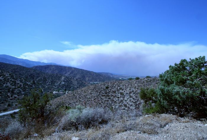
The 'Station Fire' smoke as seen from Pinyon Ridge, 24 miles to the
northeast on August 29, 2009.
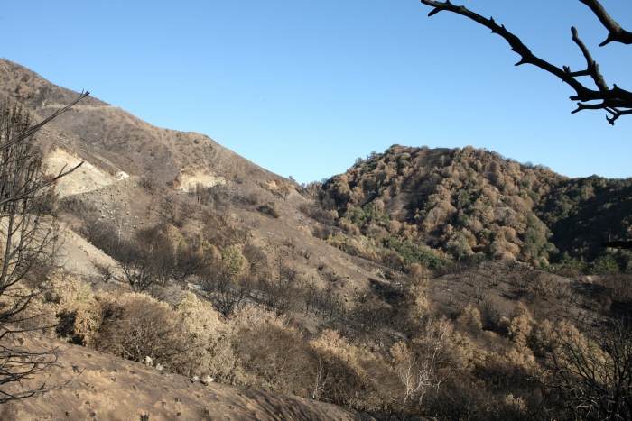
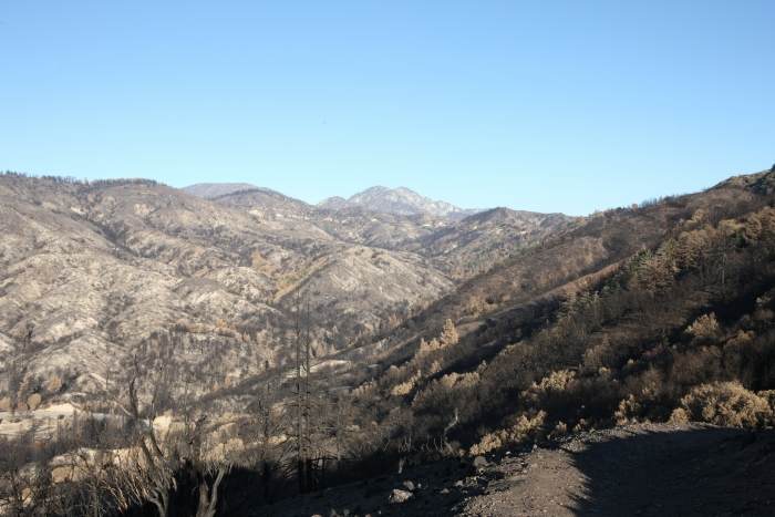
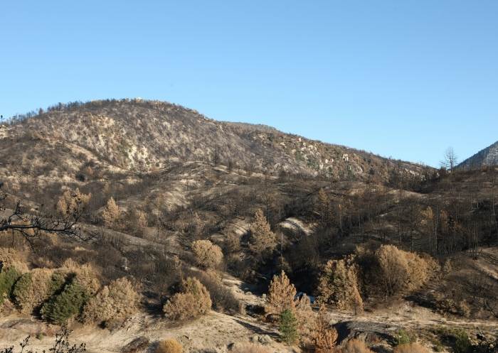
December 3, 2009
Karen and I drove into the fire area
about 30 miles west of Wrightwood (on the 'Crest' highway).
December 5, 2009
A second trip two days later.
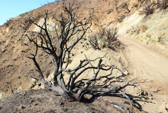
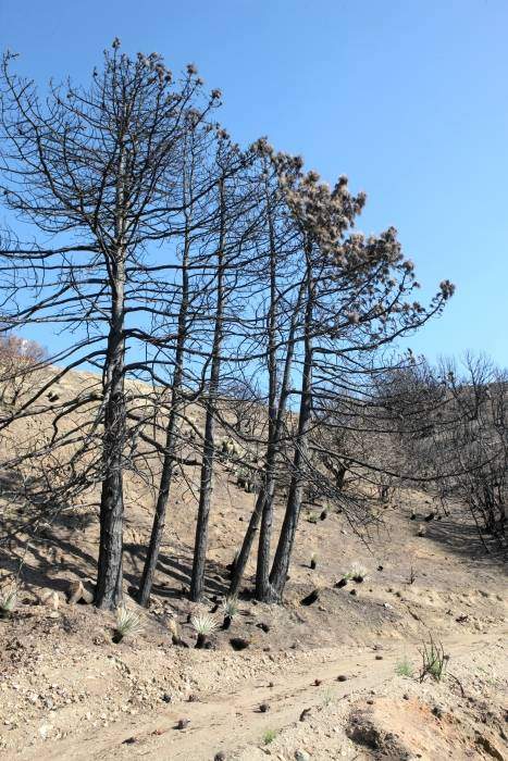
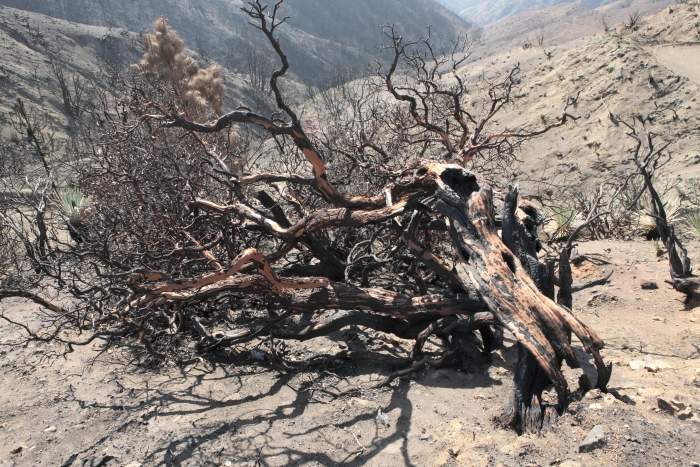
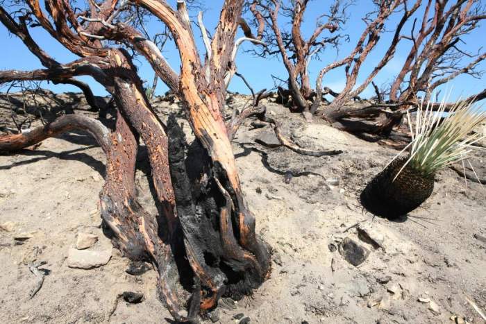
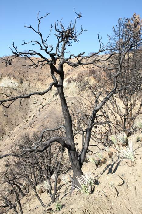
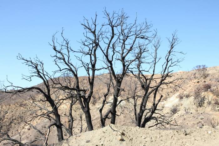
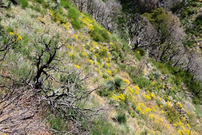
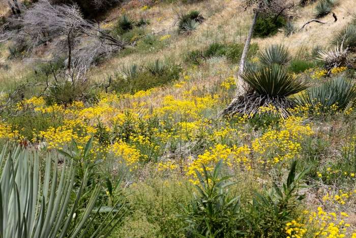
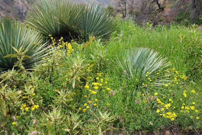
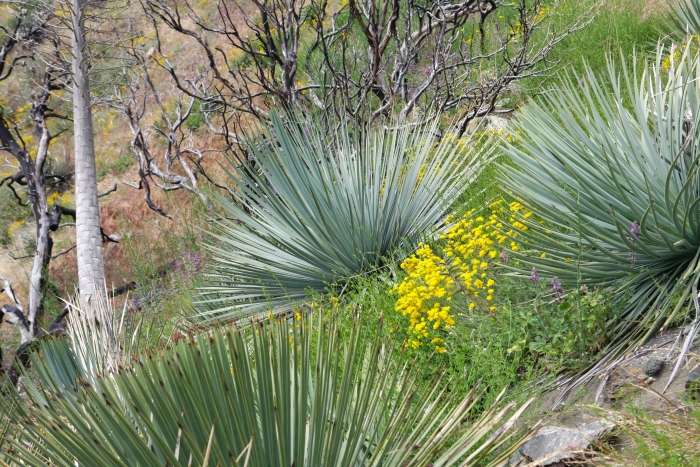
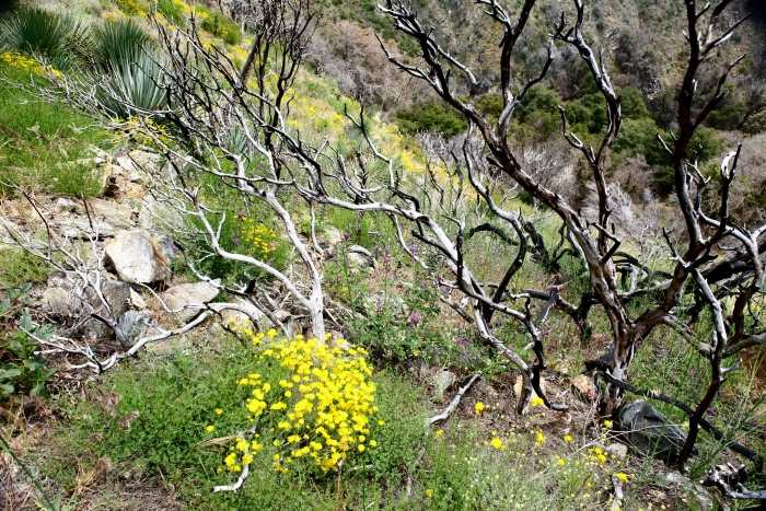
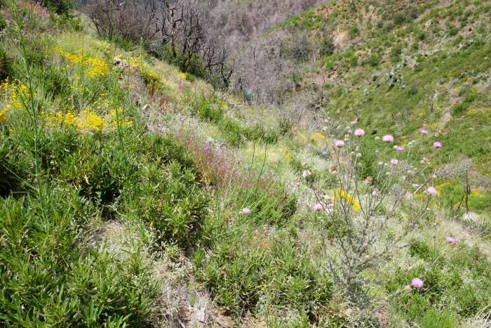
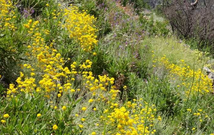
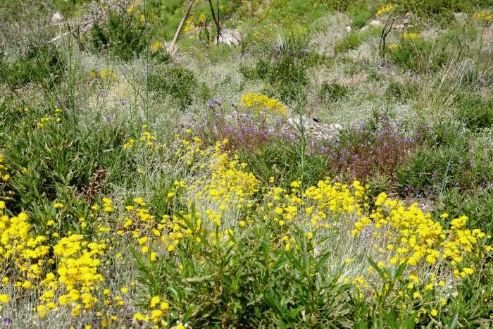
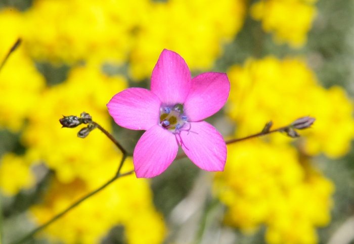
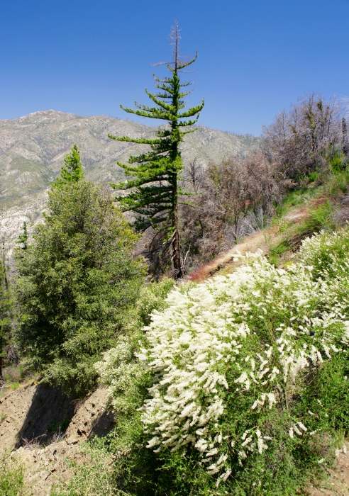
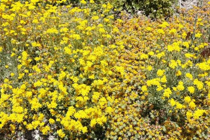
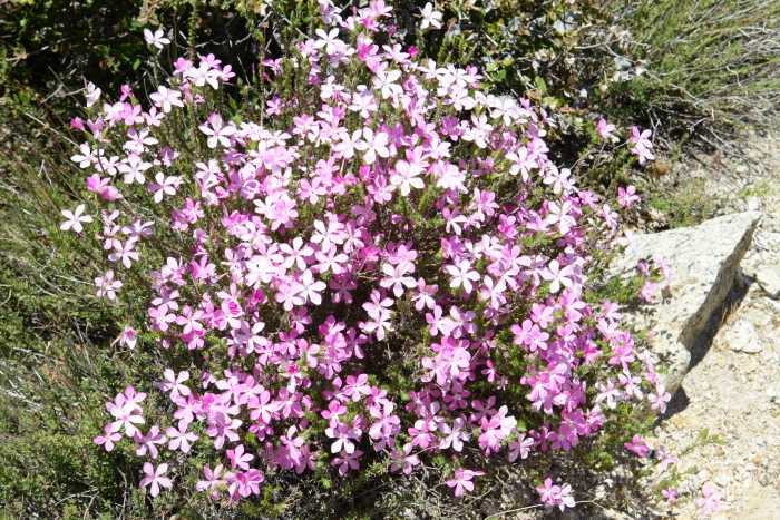
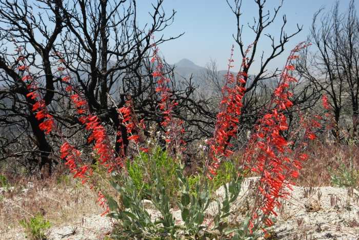
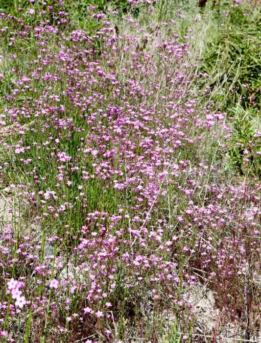
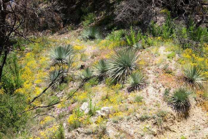
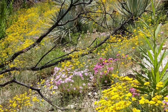
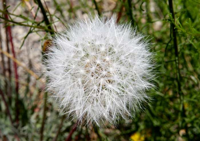
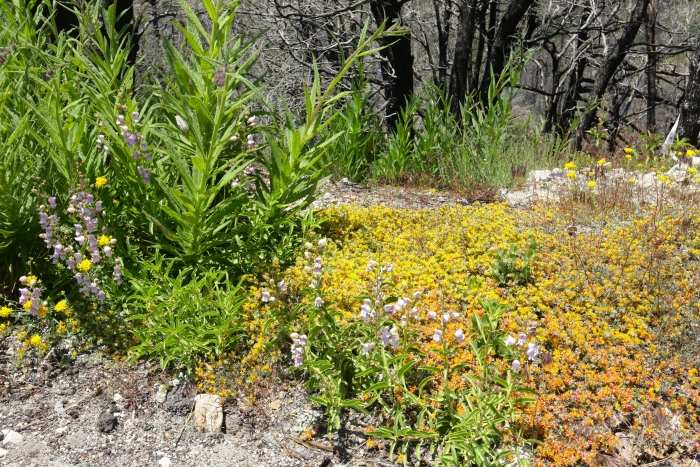
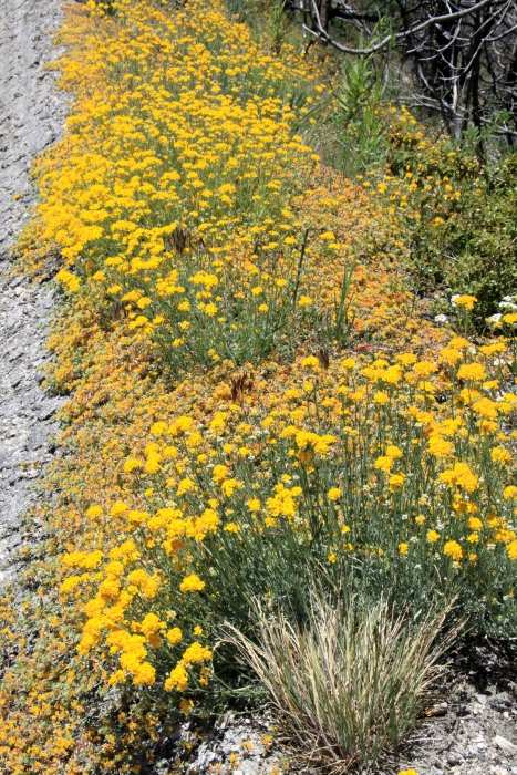
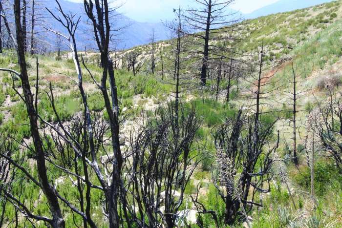
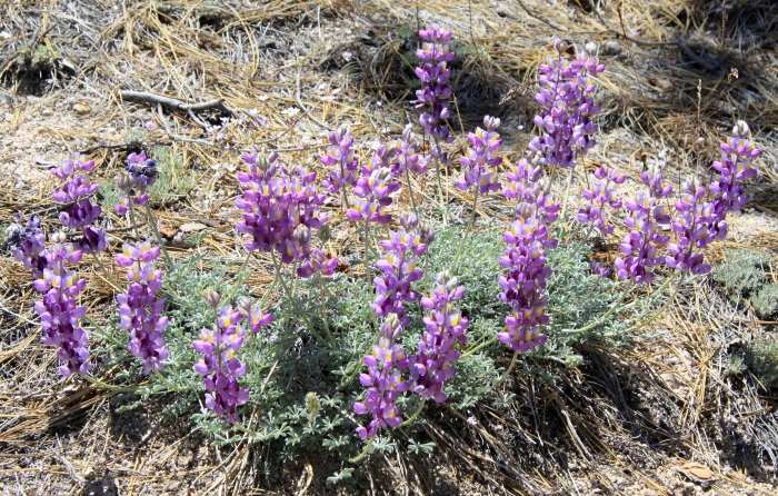
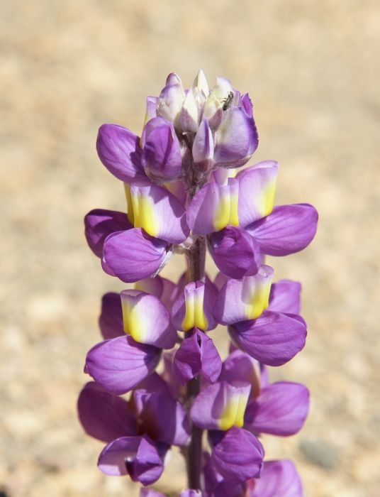
Despite this serious and
devestating damage to the San Gabriel Mountains from the 'Station
Fire',
a remarkable recovery has been underway for some time now, especially
with the recent moisture
from the 2011 winter storms. This recovery will continue, and
time will renew much of that which
was lost. New trees will take centuries to regain the heights of
those lost, but a trip up into the
burn area has yielded a wealth of beauty that only nature has full
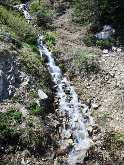
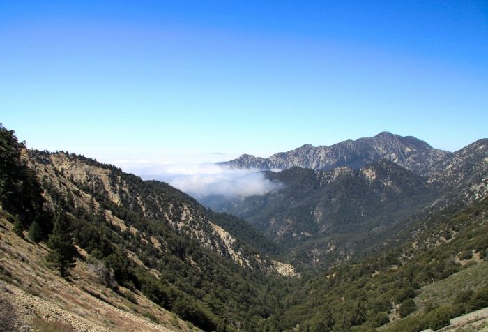
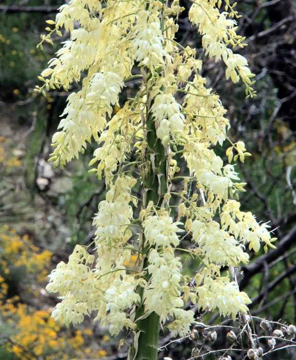
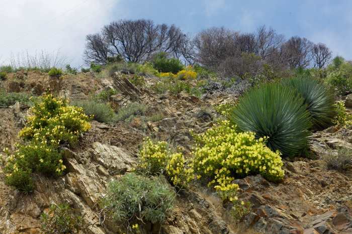
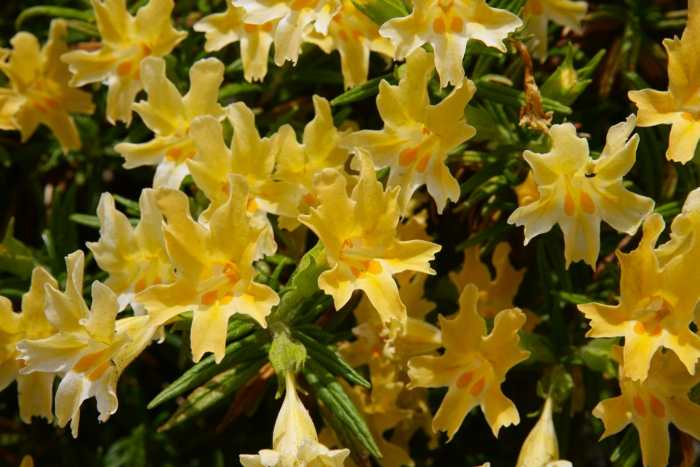
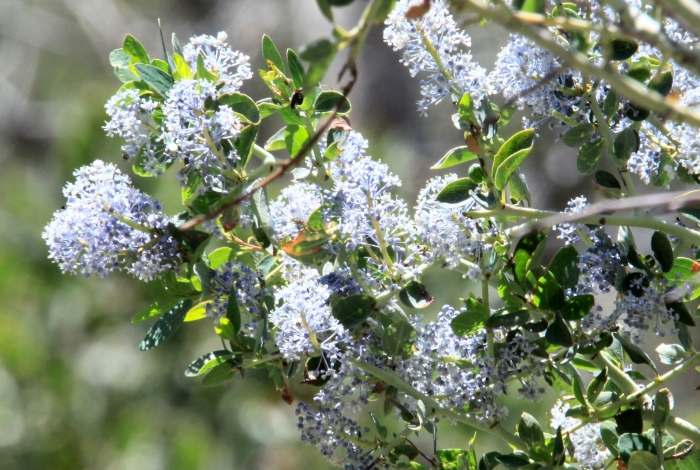
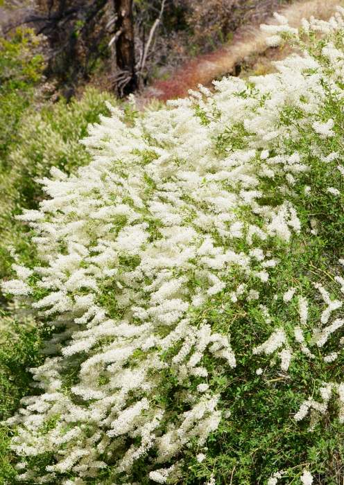
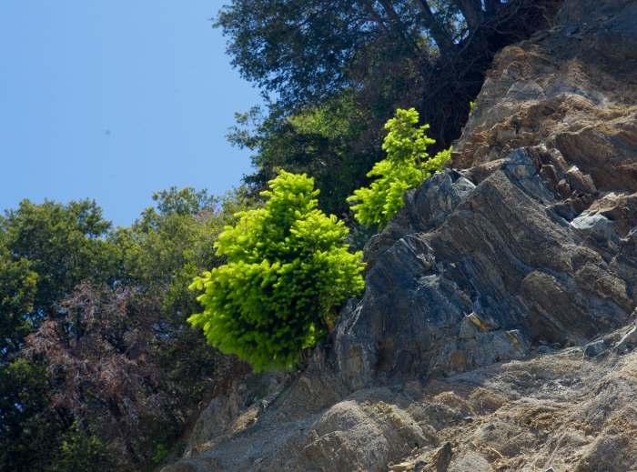
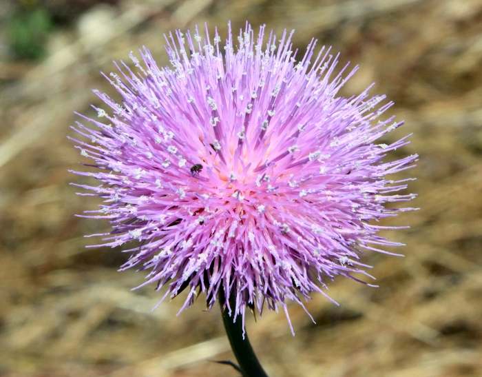
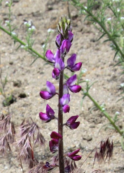
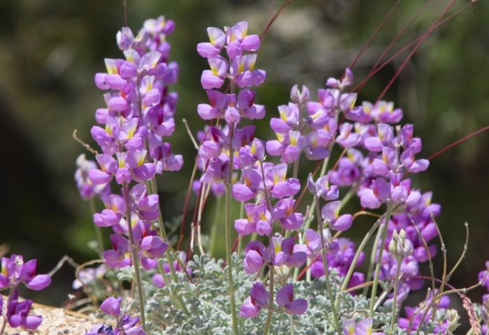
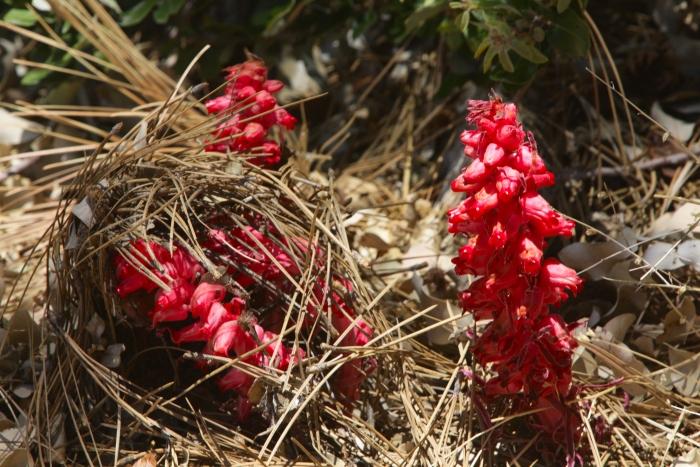
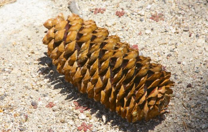
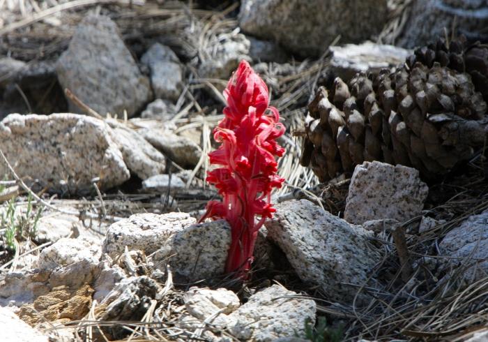
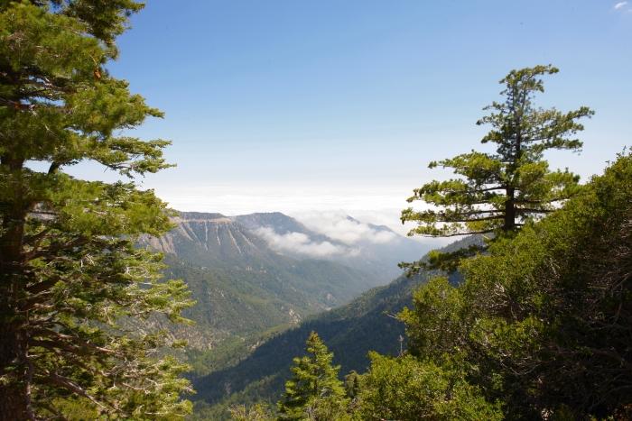
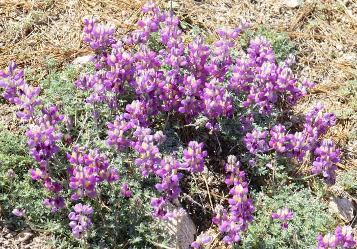
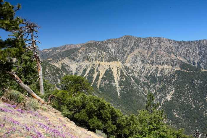
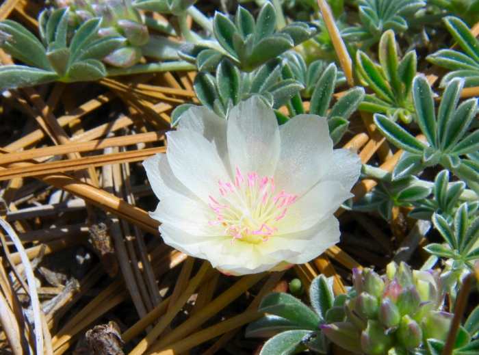
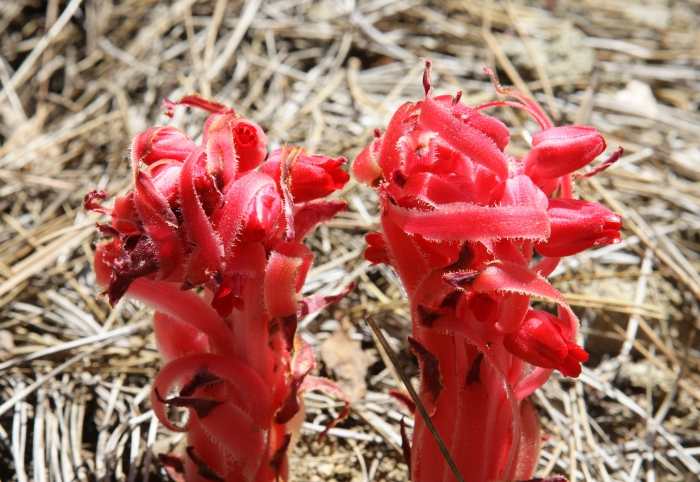
control of. Karen and I drove
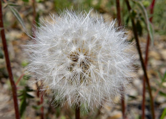
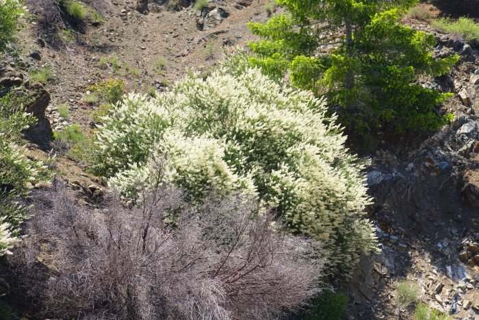
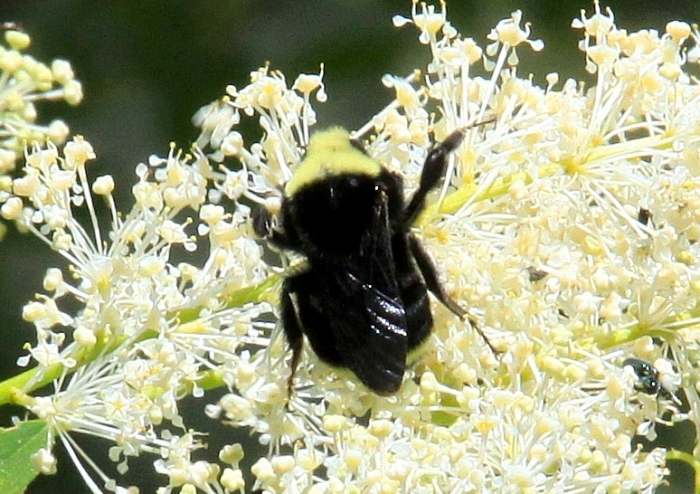
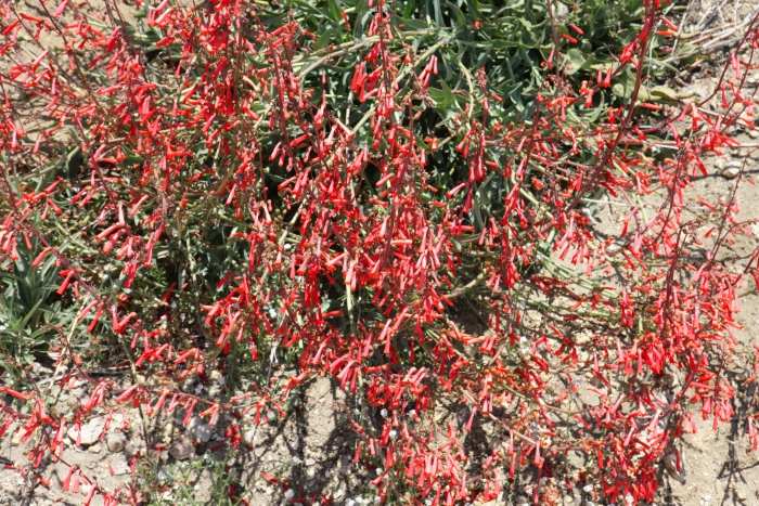
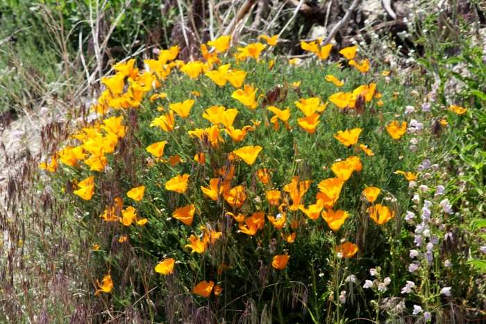
the highway on June 8, 2011 and recorded the following images, the
majority of them taken in and
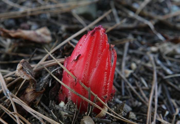
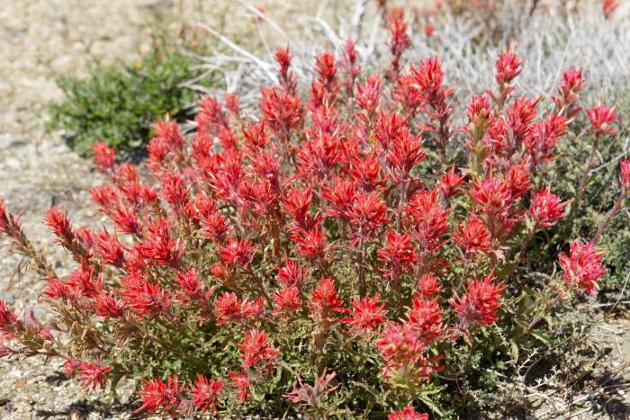
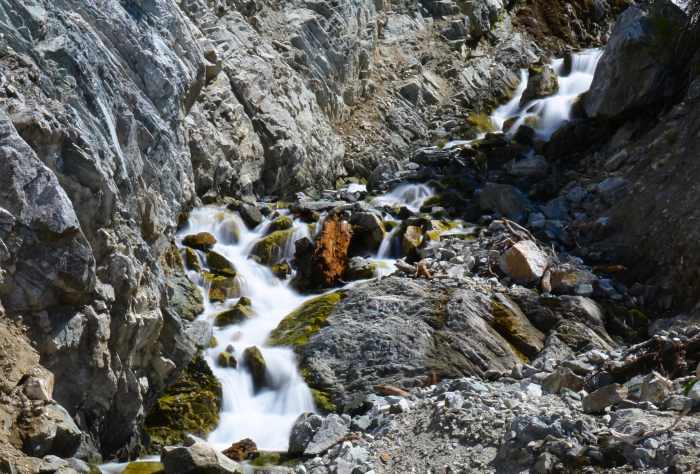
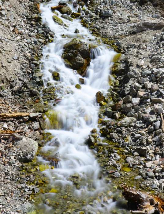
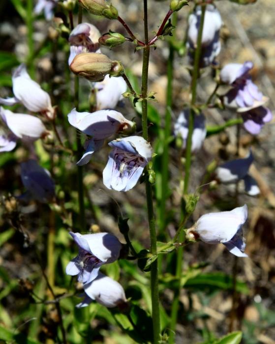
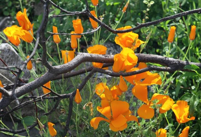
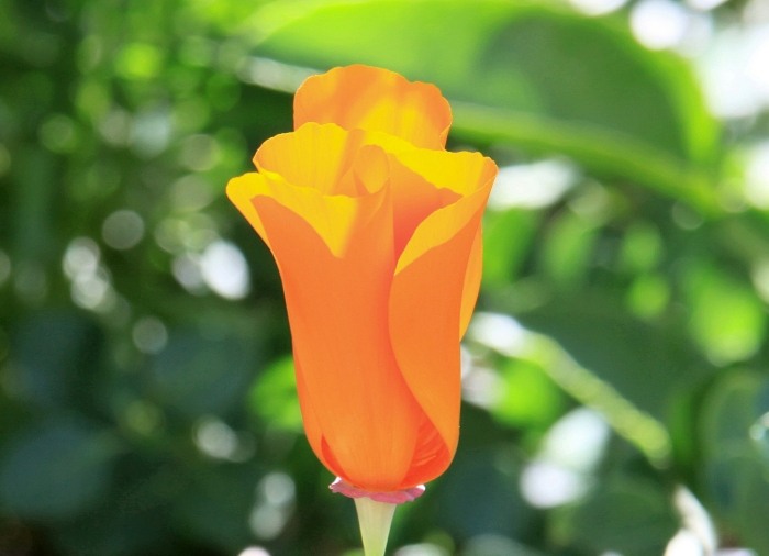
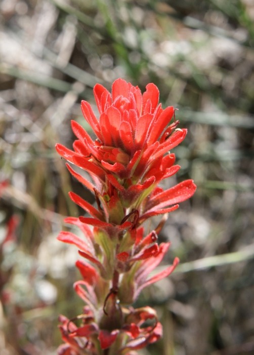
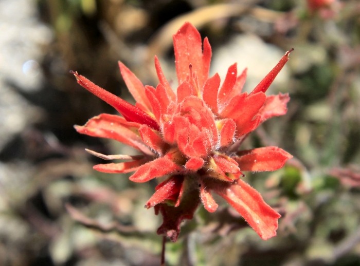
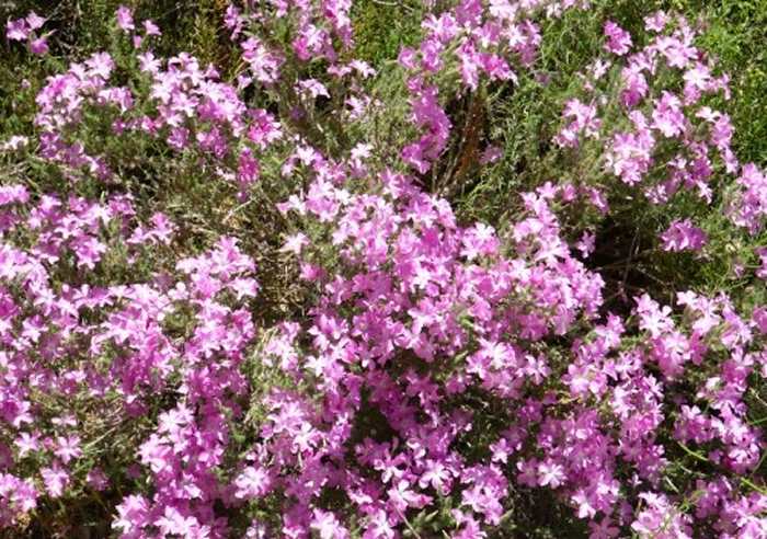
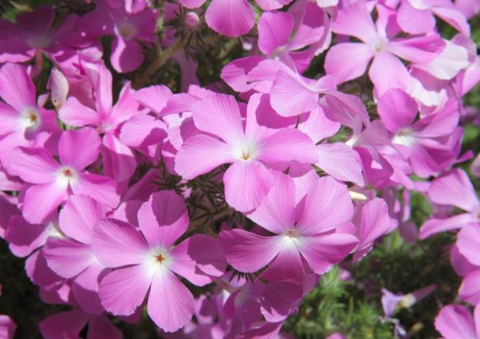
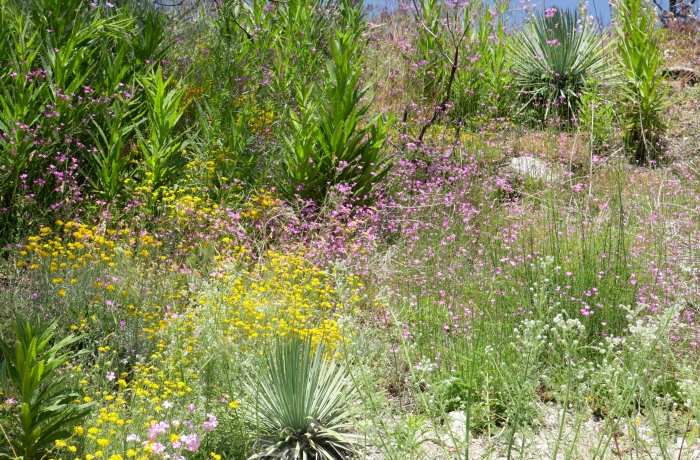
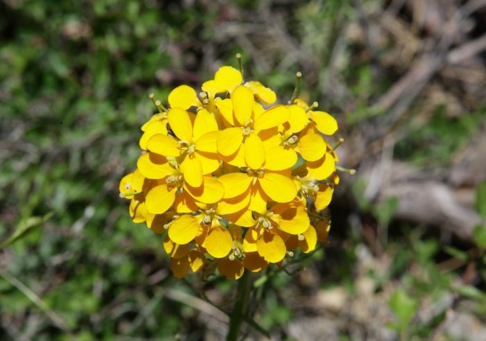
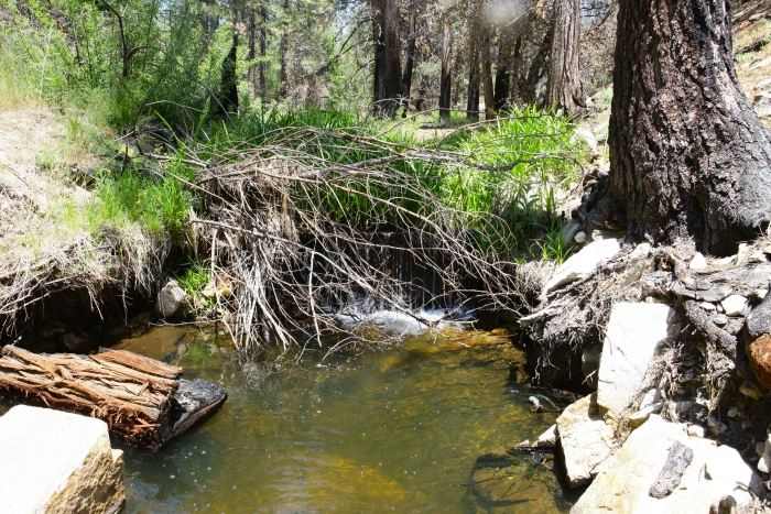
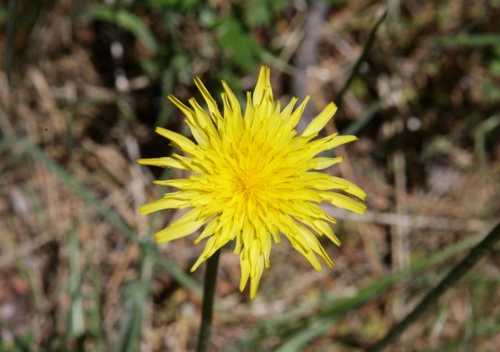
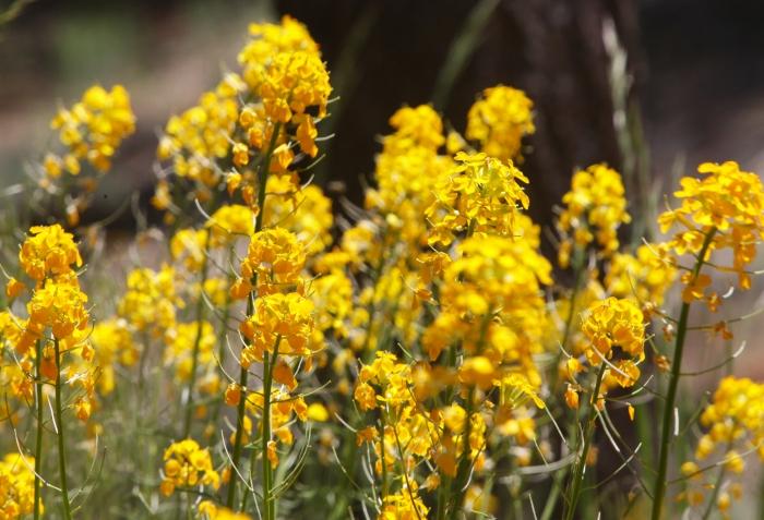
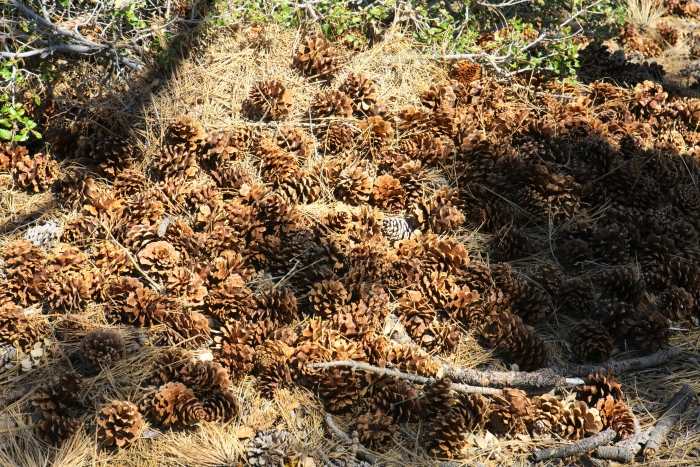
around the area of the burn. Of course it's Springtime, therefore
one would expect what you will
see below. There are some images taken well out of the burn area,
just to remind everyone there
is much to enjoy across the entire Angeles Crest Highway. If you
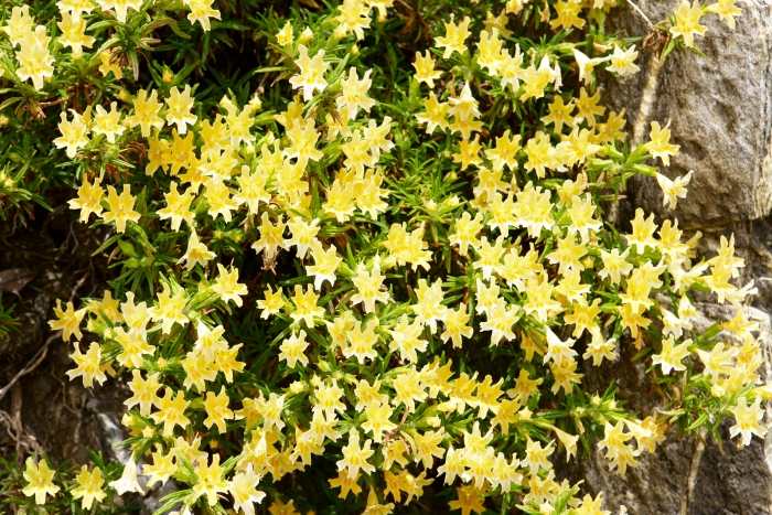
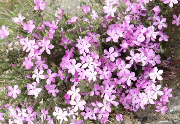
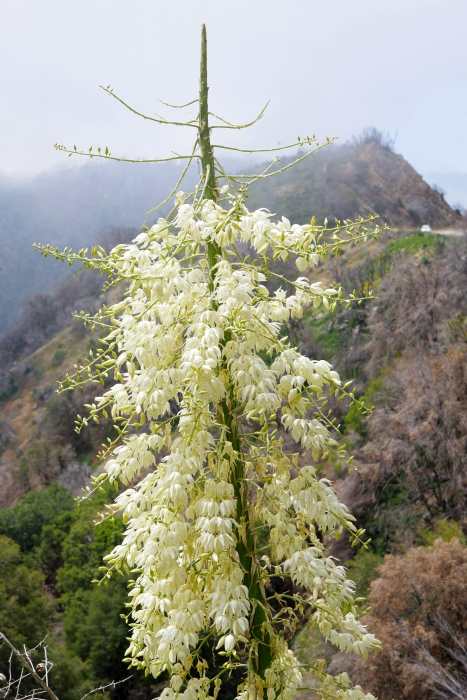
look carefully, many images show
the blackened remnants of the fire along with the greenery, flowers,
and landscape beauty. Enjoy!


\