Welcome to
Young's Photo Gallery
James W. Young, Professional Photographer
Photographic History of Table Mountain
Observatory
Part 2: Site Buildup: Local Area & Solar Constant Research
By James W. Young
retired astronomer from Table Mountain Observatory
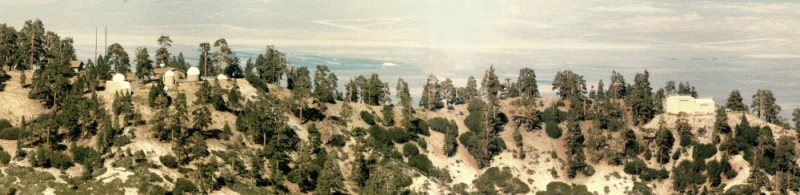
By the late fall of 1925, Table Mountain had the necessary buildings, equipment, instrumentation,
and staff to begin their full solar research programs for this newest field station. Equipment from
Mt. Harquahala had been transported to Table Mountain, and Harquahala was phased out of the
active Smithsonian stations.
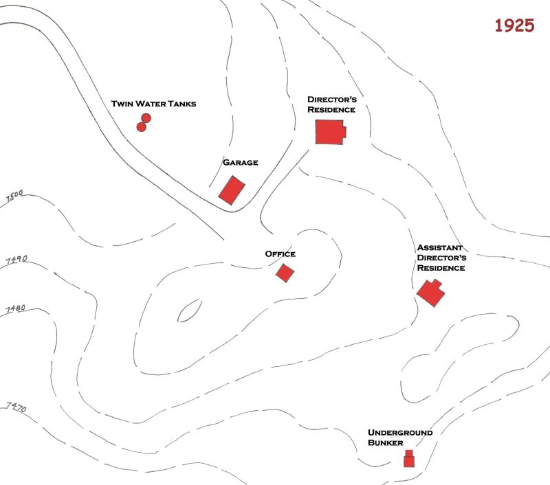
This is a reconstructed drawing of the original Smithsonian building placement at Table Mountain.
Drawings and site plans made by and after JPL acquired the site in 1962, were used to produce
this rendition of the exact position of these buildings, and additional renditions will show further
developments throughout Smithsonian's occupancy, all to the same scale.
Let's first look at the beginning site and buildings that Smithsonian constructed in the two years
from 1925 to about 1927. You can refer to the 1925 map above to show their placement on the
grounds at the very top of Table Mountain. There was never any indication of what was the first
built, and no attempt is suggested by the following order.
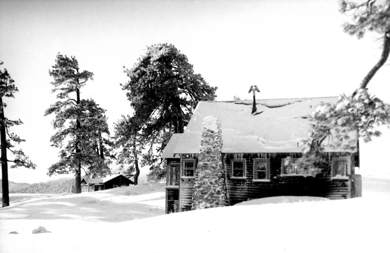
This is the original director's residence with fireplace. The assistant director's residence
is seen to the left . SIA
This became the shop and studying building for the scientific results of Smithsonian's solar
constant measurements. SIA
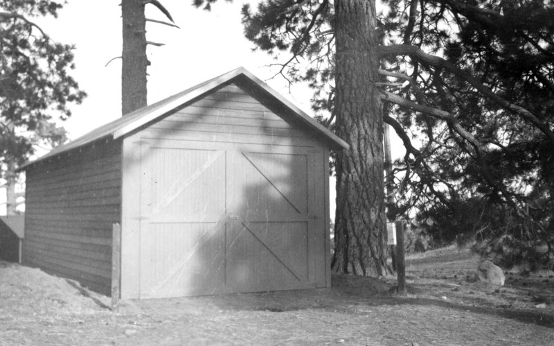
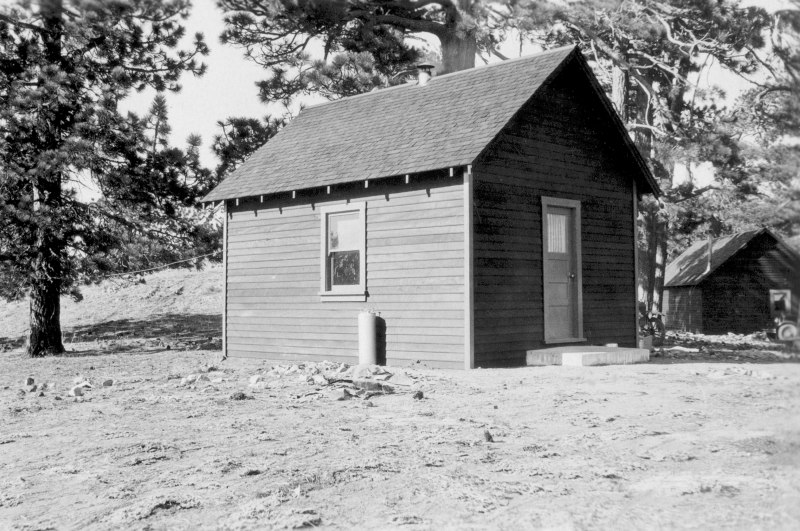
This was a temporary garage for the site's winter snowplow. SIA
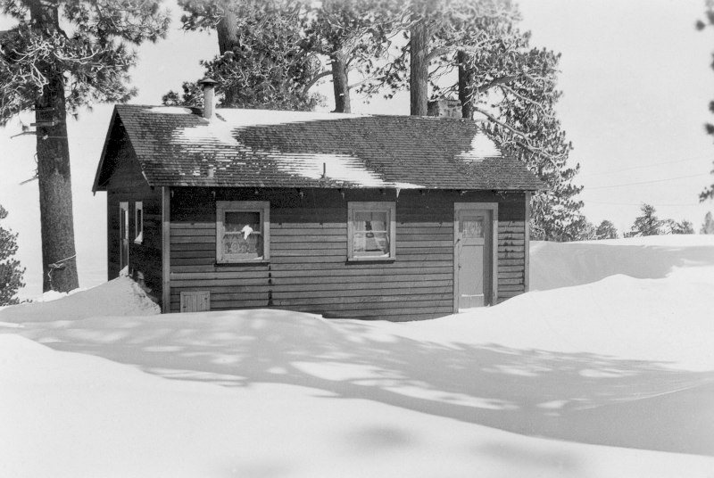
This is the assistant director's residence. SIA
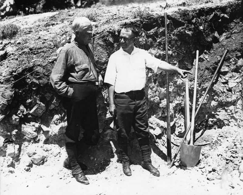
The excavation for the first bunker, with R. F. McClellan (L. A. County Board of Supervisors) on the
left, and Alfred F. Moore of the Smithsonian Institute, taken in late 1925. Mr. Moore became the
first 'field' director for this site. LAPD
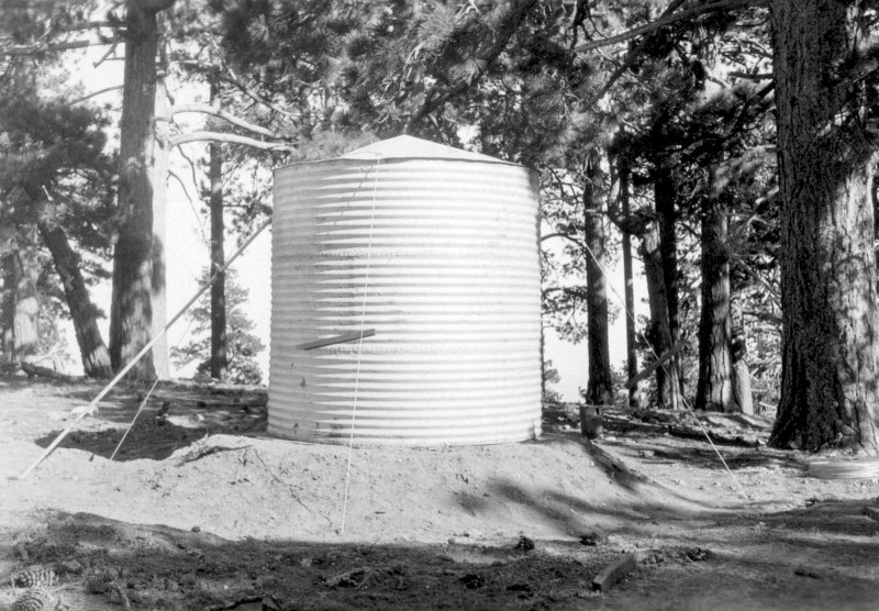
The original 1200 gallon water tanks (a second one is directly behind the one in front). Water was
pumped from the valley floor where an existing well was already in use. SIA
Although not a part of Table Mountain, the 'Big Pines - L. A. County Camp' (also known as the 'Big
Pines Recreation Camp) was used in the 1920s and 30s by Smithsonian for supplies and the mail.
In fact, this area actually became the town of Swartout (later correctly spelled as Swarthout).
The Recreation camp and Swartout became a bustling business for skiers, tobogganers, and even
ice skaters in the winter, along with camping and outdoor recreational activities in the summer.
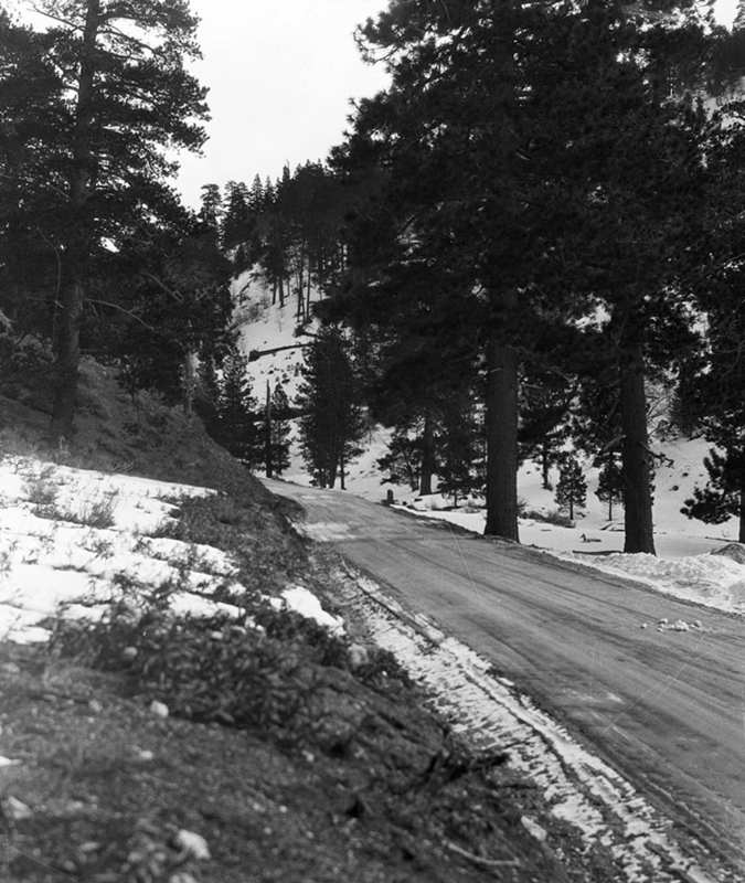
The road from Wrightwood to the Big Pines Recreation Camp. Unknown source.
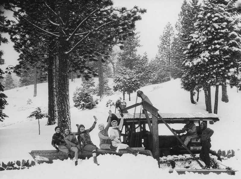
The 'camp' snowplow clearing the parking area of fresh snow. Unknown source.
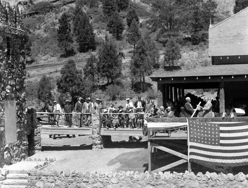
The dedication of the Davidson 'Arch' in 1926. LAPL
The Table Mountain Road where it joins the road junction at Big Pines. Unknown source.
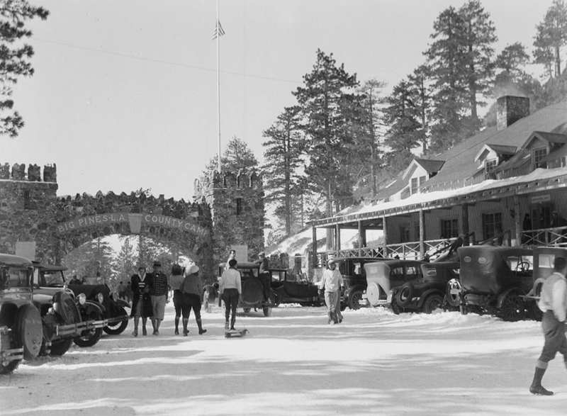
Snowplayers and vehicles at Big Pines. Unknown source.

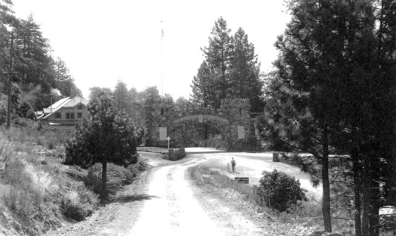
Parking at a premium; looking east from the bottom of the Table Mountain Road. LAPL
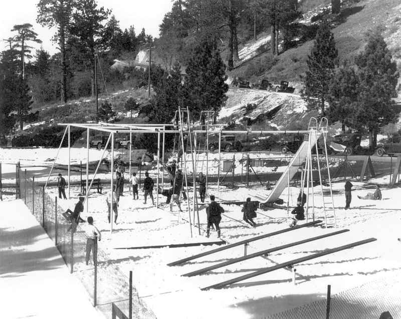
The 'playground' with the Table Mountain Road in the background. USC
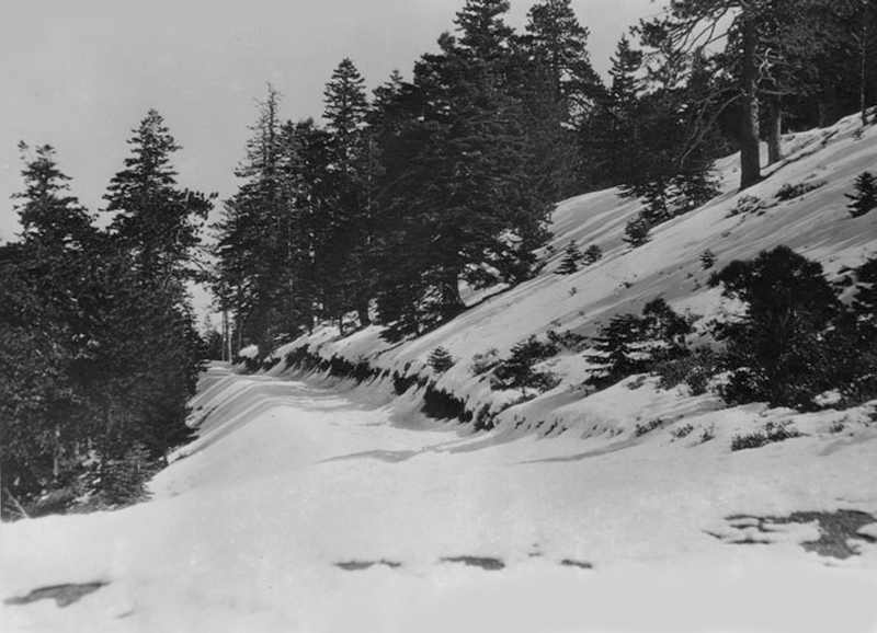
The Table Mountain Raod up from Big Pines. LAPL
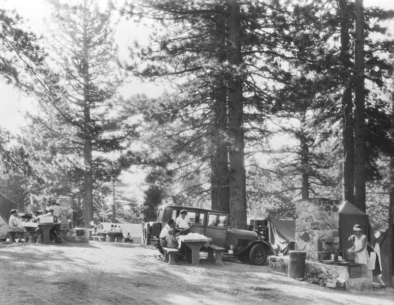
The campground for summertime vacationeers. Unknown source.
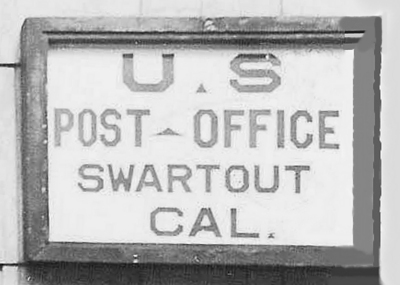
The original sign at the Swart(h)out Post Office. Photo courtsey of Rich McCutchen.
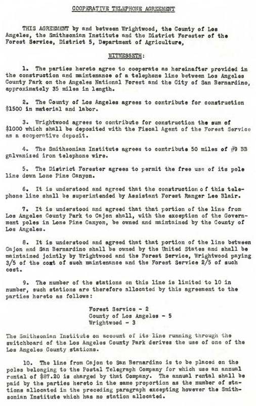
Most communications between the Table Mountain field station and Smithsonian in Washington DC
were done by mail, but there needed to be a faster method of reporting data back 'home'. Soon,
negotiations were completed in 1926 for a telephone line to the recreations camp area; from the
camp to Wrightwood, down Lone Pine Canyon to Keenbrook, and on into San Bernardino. Nearly all
of the following material (documents, drawings, and pictures) came courtesy of the Smithsonian
Institute Archives (SIA), with those others credited accordingly.
Communications between the field station and Washington DC soon became possible
with this new line, at least from Swartout. It wasn't until 1935 that an actual line was
made from the camp to Table Mountain itself. SIA
The underground bunker, or tunnel enclosure, was designed after the successful use of them at
Montezuma and Harquahala.
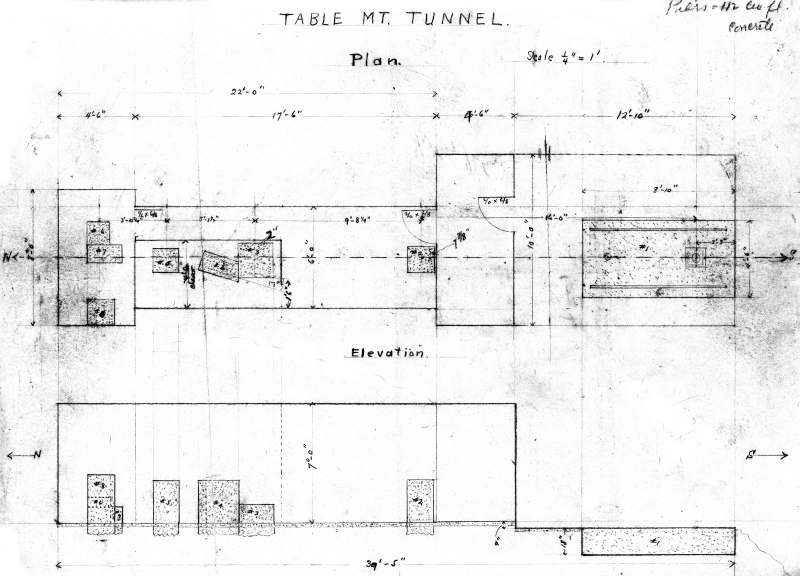
The original 'bunker' hand drawing. The following drawing was published in a Smithsonian report
found in the Smithsonian archives material. SIA
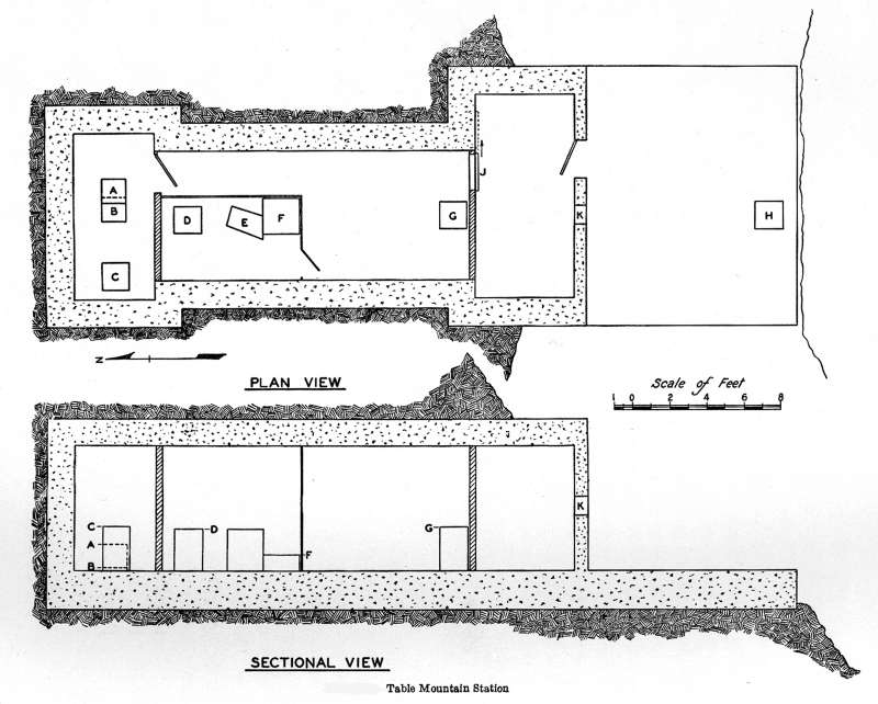
This was the first of 2 bunkers built at Table Mountain; the second one was built in the early 1950s.
By placing the most temperature sensitive instruments inside the bunker, accurate measurements
could then be compared and calibrated to data obtained at other 'field' sites, with similar setups.
However, methods of calibration proved to be extremely difficult, and it wasn't until Smithsonian
researchers found new methods to quantify their work that final results could be published. SIA
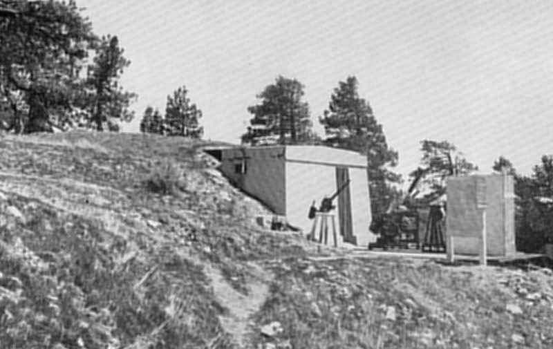
The new Table Mountain bunker (tunnel) setup in 1926. SIA
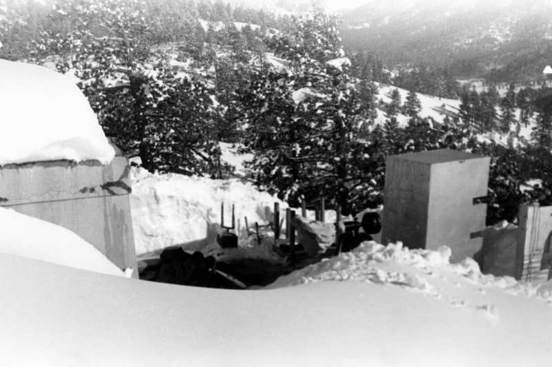
The bunker in wintertime. SIA
Researchers using the instruments at the bunker. SIA
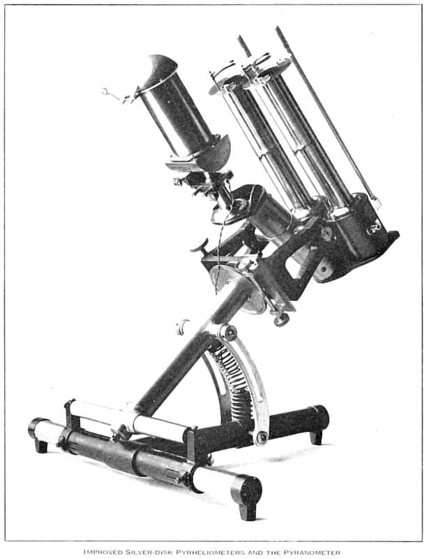
Two pyrheliometers on the right side, with a pyranometer in the center. These instruments were
used to measure the solar irradiance (amount of radiation coming from the sun), or flux density, in
watts/meter2. The pyrheliometer made direct measurements, whereas the pyranometer made
indirect (180O field of view) measurements. Note these types of instrumentation in the following
two photographs. SIA
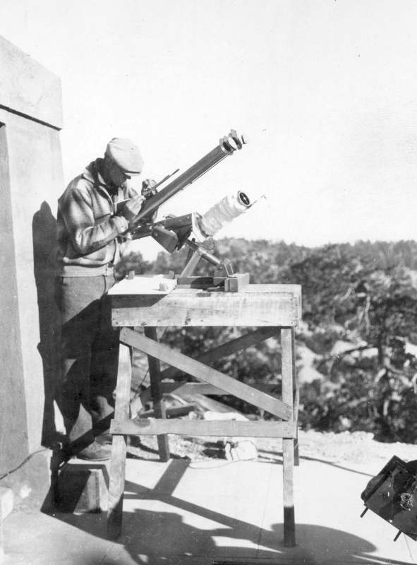
A Smithsonian assistant using the instruments outside the bunker door. SIA
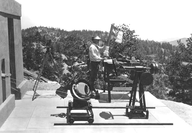
The full array of instruments at the Table Mountain bunker. Note the mirrors in the foreground,
used to send a beam of sunlight into the bunker, and the more temperature sensitive instruments.
SIA
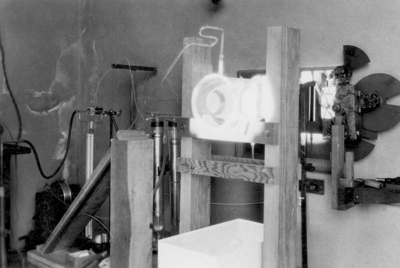
Instrumentation inside the bunker. There was no description of what these items were. SIA
End of Part 2 Part 3